Takoma, Washington D.C.
Map
Map

Facts and practical information
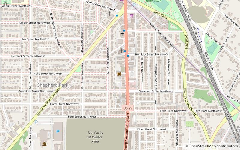
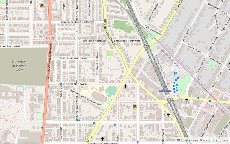
Takoma, Washington, D.C., is a neighborhood in Washington, D.C. It is located in Advisory Neighborhood Commission 4B, in the District's Fourth Ward, within the northwest quadrant. It borders the city of Takoma Park, Maryland. ()
Coordinates: 38°58'35"N, 77°1'18"W
Address
TakomaWashington D.C.
ContactAdd
Social media
Add
Day trips
Takoma – popular in the area (distance from the attraction)
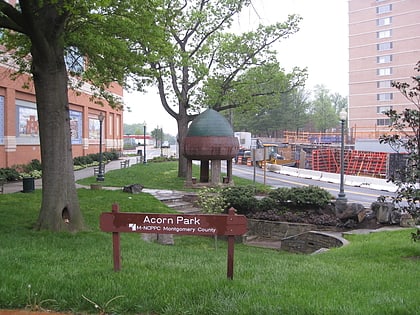
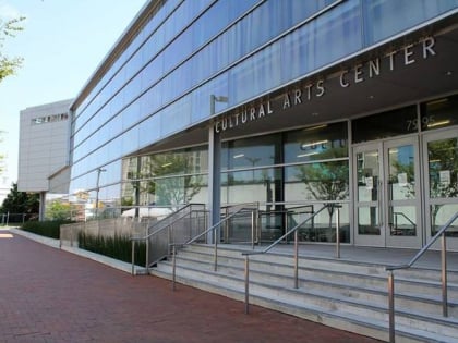
Nearby attractions include: Fort Stevens, Zenith Gallery, Acorn Park, Battleground National Cemetery.
Frequently Asked Questions (FAQ)
Which popular attractions are close to Takoma?
Nearby attractions include Takoma Park Neighborhood Library, Washington D.C. (5 min walk), Cady-Lee, Washington D.C. (6 min walk), Juanita E. Thornton/Shepherd Park Neighborhood Library, Washington D.C. (10 min walk), Eastern Avenue, Takoma Park (11 min walk).
How to get to Takoma by public transport?
The nearest stations to Takoma:
Metro
Bus
Train
Metro
- Takoma • Lines: Rd (6 min walk)
Bus
- D • Lines: F1, F2 (7 min walk)
- C • Lines: 52, 54 (7 min walk)
Train
- Silver Spring (31 min walk)


