Fort Stevens, Washington D.C.
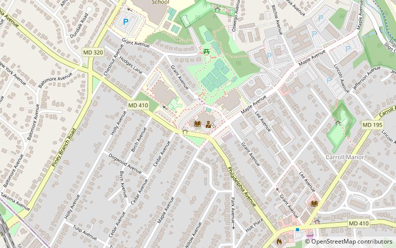
Map
Gallery
Facts and practical information
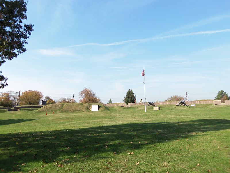
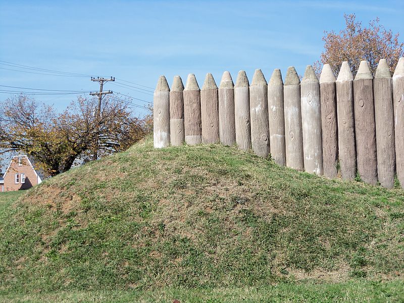
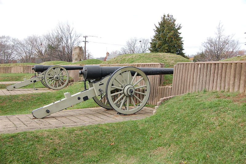
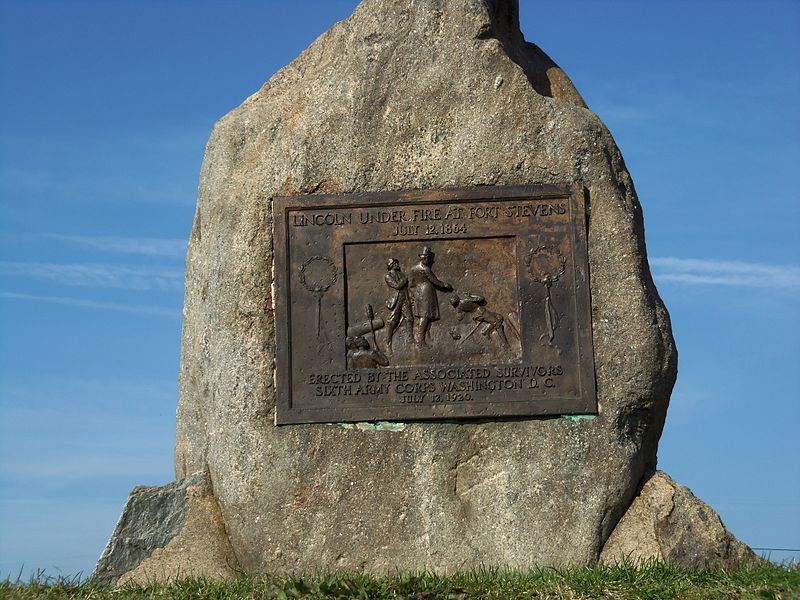
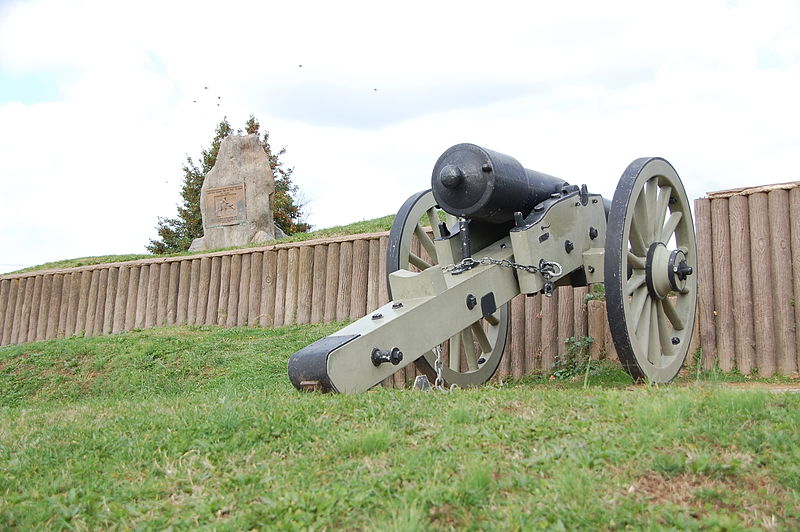
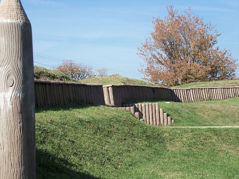
Fort Stevens, formerly named Fort Massachusetts, was part of the extensive fortifications built around Washington, D.C., during the American Civil War. ()
Built: 1861 (165 years ago)Coordinates: 38°57'52"N, 77°1'45"W
Address
Northwest Washington (Brightwood - Manor Park)Washington D.C.
Contact
+1 202 895 6070
Social media
Add
Day trips
Fort Stevens – popular in the area (distance from the attraction)
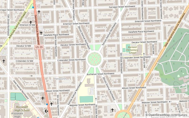
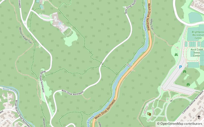
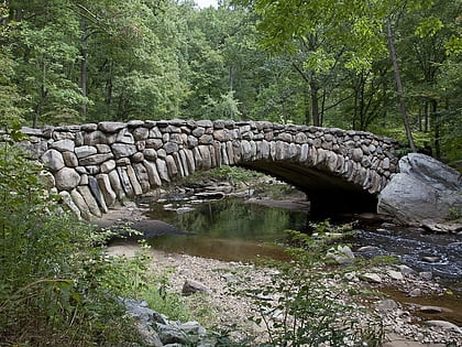
Nearby attractions include: Sherman Circle, Ross Drive Bridge, Boulder Bridge, Zenith Gallery.
Frequently Asked Questions (FAQ)
Which popular attractions are close to Fort Stevens?
Nearby attractions include Hughes Memorial Tower, Washington D.C. (5 min walk), Fort Stevens Ridge, Washington D.C. (10 min walk), Battleground National Cemetery, Washington D.C. (12 min walk), Brightwood Park, Washington D.C. (18 min walk).
How to get to Fort Stevens by public transport?
The nearest stations to Fort Stevens:
Metro
Bus
Metro
- Takoma • Lines: Rd (26 min walk)
Bus
- F • Lines: 62, 63 (26 min walk)
- E • Lines: K2 (26 min walk)


