Downtown Youngstown, Youngstown
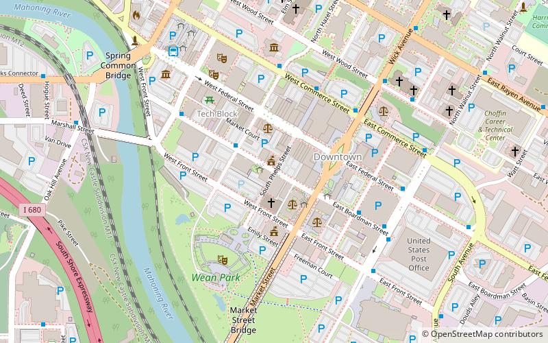
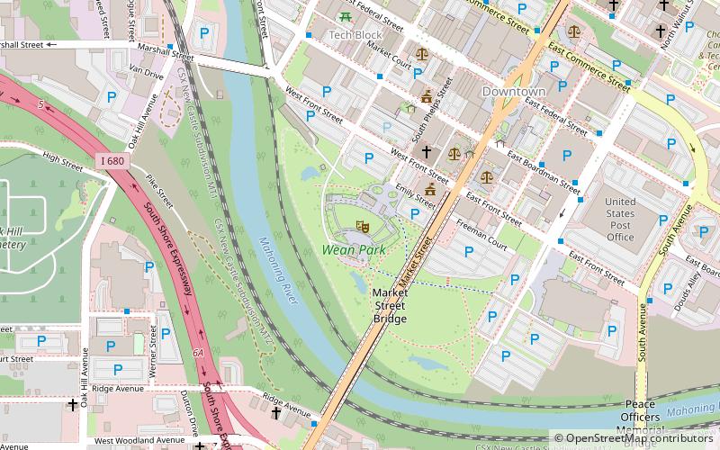
Map

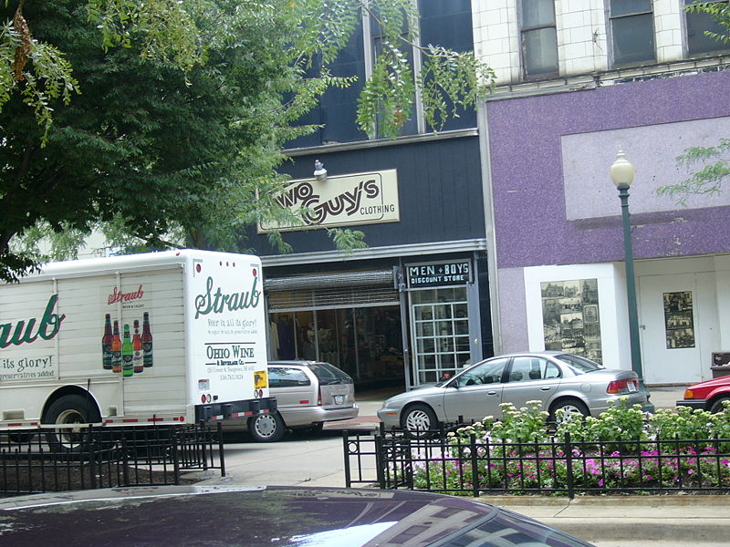
Gallery

Facts and practical information
Downtown Youngstown is the traditional center of the city of Youngstown, Ohio, United States. After decades of precipitous decline, the downtown area shows signs of renewal. Civic leaders have expressed hope that the district will emerge as a significant arts and entertainment district within the Youngstown-Warren metropolitan area. ()
Coordinates: 41°5'59"N, 80°39'5"W
Address
Downtown YoungstownYoungstown
ContactAdd
Social media
Add
Day trips
Downtown Youngstown – popular in the area (distance from the attraction)
Nearby attractions include: Covelli Centre, Fellows Riverside Gardens, Butler Institute of American Art, Youngstown Foundation Amphitheatre.
Frequently Asked Questions (FAQ)
Which popular attractions are close to Downtown Youngstown?
Nearby attractions include Wick Building, Youngstown (2 min walk), Metropolitan Tower, Youngstown (2 min walk), Liberty/Paramount Theatre, Youngstown (3 min walk), Oakland Center for the Arts, Youngstown (3 min walk).
How to get to Downtown Youngstown by public transport?
The nearest stations to Downtown Youngstown:
Bus
Bus
- Youngstown Greyhound Station • Lines: 0010, 0011 (7 min walk)
- Community Bus Services (29 min walk)


