Harbor North, Huron

Gallery (1)
Map
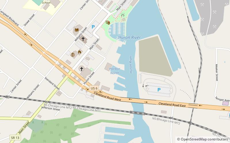
Map
Facts and practical information
Harbor North (address: 400 Huron St) is a place located in Huron (Ohio state) and belongs to the category of sailing, marina.
It is situated at an altitude of 574 feet, and its geographical coordinates are 41°23'29"N latitude and 82°33'17"W longitude.
Among other places and attractions worth visiting in the area are: Christ Episcopal Church (church, 12 min walk), Huron Harbor Light (lighthouse, 28 min walk), BGSU Firelands (universities and schools, 56 min walk).
Coordinates: 41°23'29"N, 82°33'17"W
Day trips