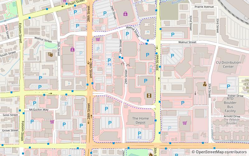
Twenty Ninth Street, Boulder
Map

Map

Facts and practical information
Twenty Ninth Street is a retail center in Boulder, Colorado that opened on October 13, 2006 on the former site of Crossroads Mall. ()
Coordinates: 40°1'6"N, 105°15'22"W
Address
Crossroads (Transit Village)Boulder
ContactAdd
Social media
Add
Day trips
Twenty Ninth Street – popular in the area (distance from the attraction)
Nearby attractions include: Folsom Field, Coors Events Center, University of Colorado Boulder, Fox Theatre.
Frequently Asked Questions (FAQ)
Which popular attractions are close to Twenty Ninth Street?
Nearby attractions include Naropa University, Boulder (17 min walk), National Solar Observatory, Boulder (19 min walk), Folsom Field, Boulder (22 min walk), University of Colorado Boulder, Boulder (24 min walk).
How to get to Twenty Ninth Street by public transport?
The nearest stations to Twenty Ninth Street:
Bus
Bus
- Boulder Junction at Depot Square Station (13 min walk)
- Downtown Boulder Station (28 min walk)


