Bright Angel Trail, Grand Canyon National Park


Facts and practical information
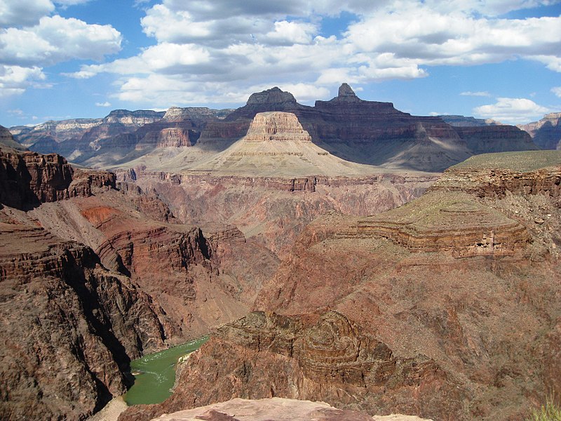
The Bright Angel Trail is a renowned pathway that descends into the heart of the Grand Canyon, offering hikers an up-close experience of one of the natural wonders of the world. Located within the Grand Canyon National Park in Arizona, United States, this historic trail is a must-visit for outdoor enthusiasts and nature lovers.
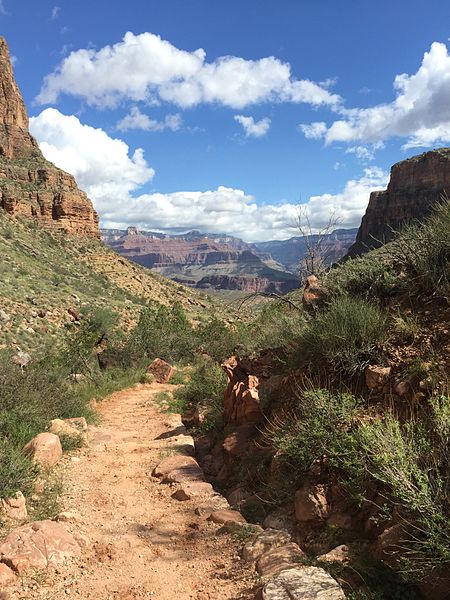
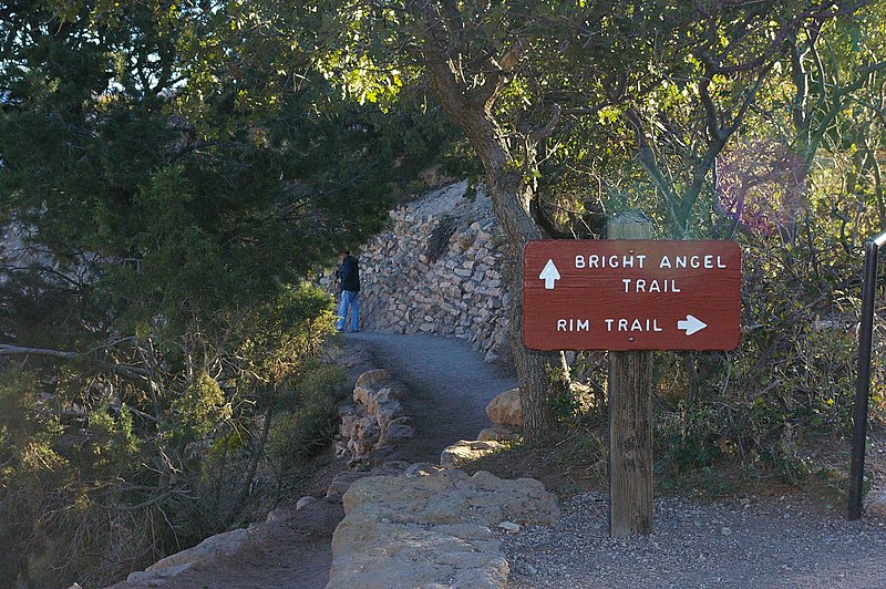
Carved into the canyon's rim, the Bright Angel Trail is approximately 9.5 miles long and leads from the South Rim down to the Colorado River. The trailhead is conveniently situated near the Grand Canyon Village, making it one of the most accessible and popular trails in the park.
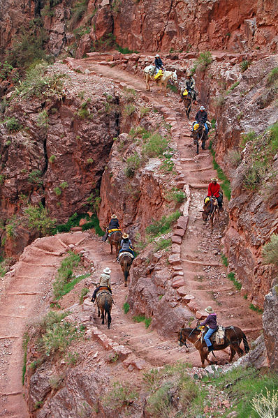
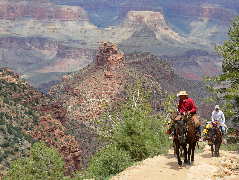
As you embark on your descent, the trail offers breathtaking panoramic views, geological formations, and the chance to spot local wildlife. Along the way, hikers can find rest houses at the 1.5 and 3-mile marks, as well as Indian Garden, a beautiful oasis 4.5 miles from the rim. Each of these stops provides water and toilet facilities, although water availability can vary seasonally, so it is essential to check ahead and come prepared.
For those looking to extend their adventure, camping options are available at Indian Garden Campground and the Bright Angel Campground near the river, though permits are required and should be secured well in advance due to high demand.
Due to the trail's steep and strenuous nature, descending to the river and returning in one day is not recommended. The National Park Service advises hikers to plan overnight stays if they intend to hike to the bottom.
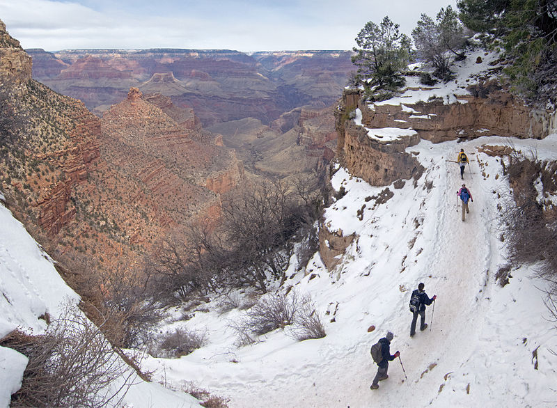
Weather conditions can greatly affect the trail experience. Summer temperatures at the river can soar above 100°F (38°C), while icy conditions in winter can make the upper parts of the trail treacherous. Proper preparation, including adequate water, food, and clothing, is crucial for a safe and enjoyable hike.
36.0553°N 112.1433°WGrand Canyon National Park 86023
- Bus
- Train
 Bus
Bus
- Calculate routeHermits Rest Route Transfer 1 min walk
- Calculate routeVillage Route Transfer 2 min walk
- Calculate routeBright Angel Lodge 5 min walk
- Calculate routeMaswik Lodge 6 min walk
- Calculate routeGrand Canyon 11 min walk


Frequently Asked Questions (FAQ)
Which popular attractions are close to Bright Angel Trail?
How to get to Bright Angel Trail by public transport?
Bus
- Hermits Rest Route Transfer • Lines: Village Route (East-bound), Village Route (West-bound) (1 min walk)
- Village Route Transfer • Lines: Hermits Rest Route (East-bound), Hermits Rest Route (West-bound) (2 min walk)
Train
- Grand Canyon (11 min walk)