Nankoweap Trail, Grand Canyon National Park
Map

Map

Facts and practical information
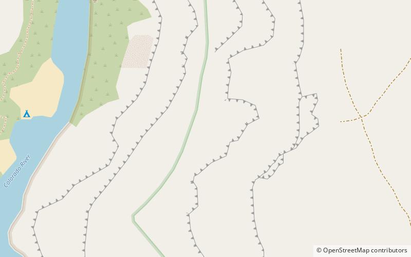
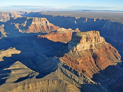
The Nankoweap Trail is an unmaintained hiking trail on the North Rim of the Grand Canyon National Park, located in the U.S. state of Arizona. The Nankoweap trail descends 6,040 feet in 14 miles from the Saddle Mountain trailhead to Nankoweap Creek and on to the Colorado River. It is considered to be the hardest of the trails into the Canyon. Hikers have to carry and cache water as there is none in the 11 miles between the trailhead and Nankoweap Creek. ()
Length: 13.9 miMaximum elevation: 8840 ftMinimal elevation: 2800 ftCoordinates: 36°17'60"N, 111°50'60"W
Address
Grand Canyon National Park
ContactAdd
Social media
Add
Day trips
Nankoweap Trail – popular in the area (distance from the attraction)
Nearby attractions include: Kwagunt Butte, Alsap Butte, Malgosa Crest, Colter Butte.


