Nankoweap Mesa
Map

Gallery

Facts and practical information
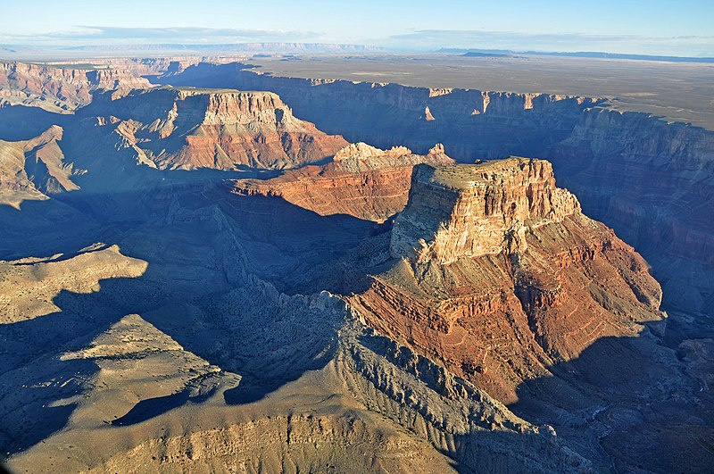
Nankoweap Mesa is a 6,316-foot-elevation summit located in the eastern Grand Canyon, in Coconino County of northern Arizona, USA. It is situated adjacent to the East Rim, being the north major prominence along the Butte Fault. From south to north, and bordering the due-south flowing Colorado River, are Chuar Butte, Awatubi Crest, Kwagunt Butte, Malgosa Crest, and the Nankoweap Mesa. All the prominences are near the end of Marble Canyon, Marble Canyon being the start of the Grand Canyon. ()
Coordinates: 36°16'0"N, 111°51'35"W
Location
Arizona
ContactAdd
Social media
Add
Day trips
Nankoweap Mesa – popular in the area (distance from the attraction)
Nearby attractions include: Kwagunt Butte, Chuar Butte, Gunther Castle, Atoko Point.


