Priest Wilderness, Mount Pleasant National Scenic Area

Map
Facts and practical information
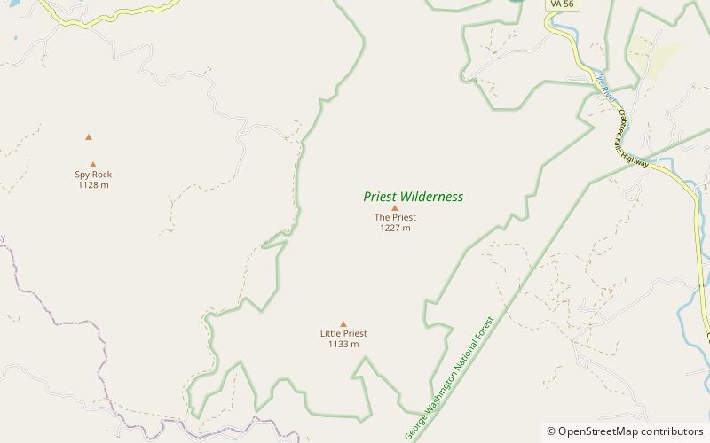
The Priest Wilderness is a U.S. Wilderness Area in the Glenwood/Pedlar Ranger District of the George Washington and Jefferson National Forests. The wilderness area is located just south of the Tye River, the Three Ridges Wilderness, and Virginia State Route 56. The wilderness consists of 5,726 acres and ranges in elevation from 1,000 feet at the Tye River to 4,063 feet at the summit of The Priest. ()
Established: 2000 (26 years ago)Coordinates: 37°49'4"N, 79°4'13"W
Day trips
Priest Wilderness – popular in the area (distance from the attraction)
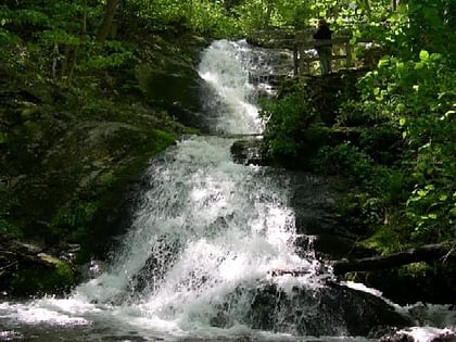
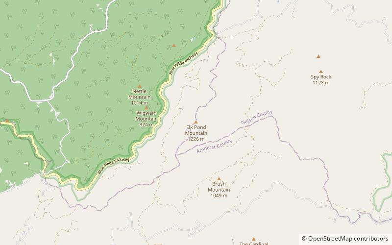
Nearby attractions include: Crabtree Falls, The Priest Mountain, Haines Chapel, Elk Pond Mountain.


