The Priest Mountain, Mount Pleasant National Scenic Area

Gallery (2)
Map
Map
Gallery
Facts and practical information
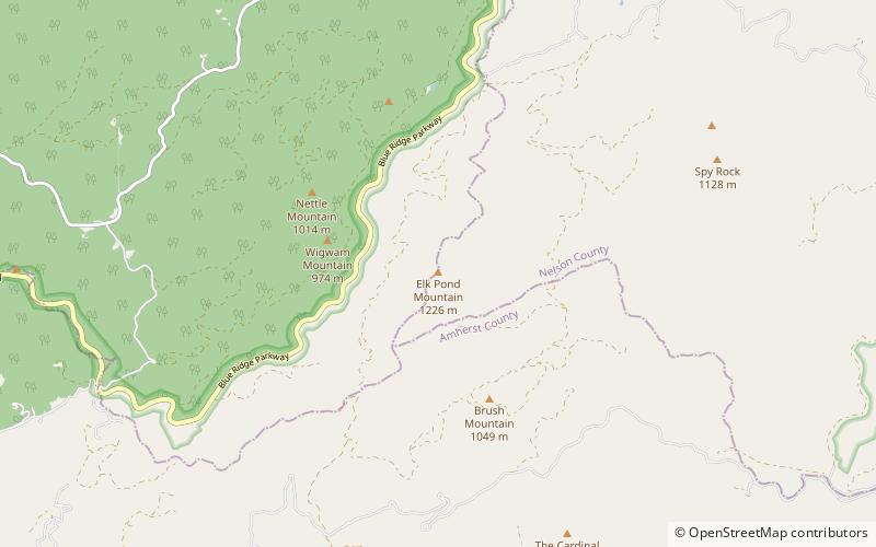
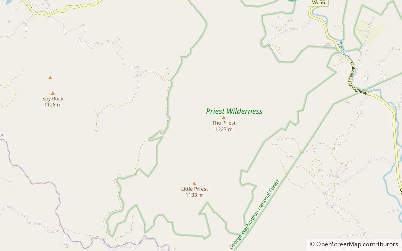
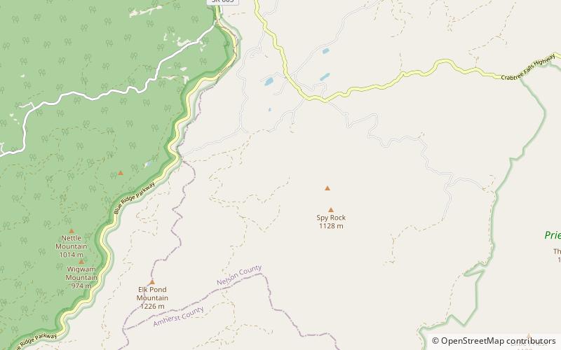
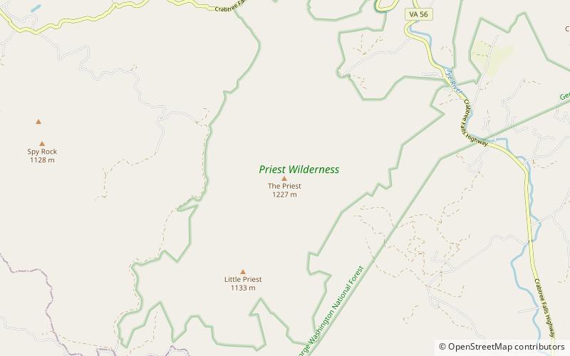
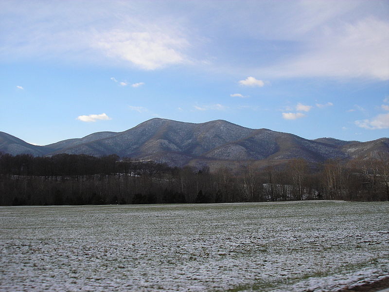
The Priest is a mountain in Nelson County, Virginia. The peak of the mountain is the highest point in the county. The mountain is on a spur off the main Blue Ridge Mountains, about 3.5 miles east of Maintop Mountain, located in the Priest Wilderness of the George Washington National Forest. ()
Elevation: 4063 ftProminence: 800 ftCoordinates: 37°49'12"N, 79°3'45"W
Day trips