The NorVa, Norfolk
Map
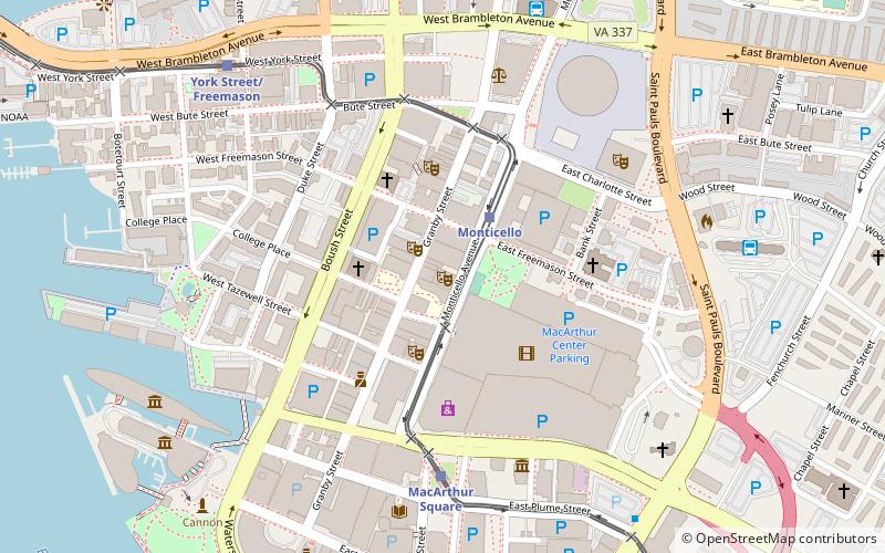
Map

Facts and practical information
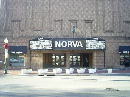
The NorVa is a performing venue located in Norfolk, Virginia, the name being a syllabic abbreviation of the city and state of its location. ()
Opened: 1922 (104 years ago)Capacity: 1450Coordinates: 36°51'1"N, 76°17'23"W
Day trips
The NorVa – popular in the area (distance from the attraction)
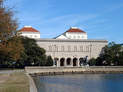
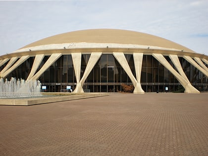
Nearby attractions include: Chrysler Museum of Art, MacArthur Center, Harbor Park, Waterside.
Frequently Asked Questions (FAQ)
Which popular attractions are close to The NorVa?
Nearby attractions include TCC Roper Performing Arts Center, Norfolk (1 min walk), Tidewater Community College, Norfolk (1 min walk), Wells Theatre, Norfolk (3 min walk), Downtown Norfolk, Norfolk (3 min walk).
How to get to The NorVa by public transport?
The nearest stations to The NorVa:
Light rail
Bus
Ferry
Train
Light rail
- Monticello • Lines: Tide (3 min walk)
- MacArthur Square • Lines: Tide (6 min walk)
Bus
- Norfolk Greyhound Station (8 min walk)
- Norfolk Downtown Transit Center (9 min walk)
Ferry
- Waterside • Lines: Elizabeth River Ferry (13 min walk)
- North Landing • Lines: Elizabeth River Ferry (23 min walk)
Train
- Norfolk (23 min walk)
