St. Paul's Episcopal Church, Norfolk
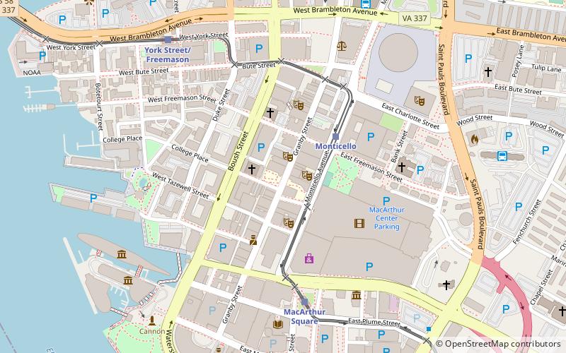
Map
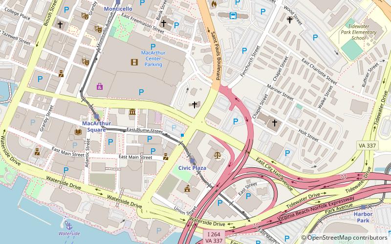
Map

Facts and practical information
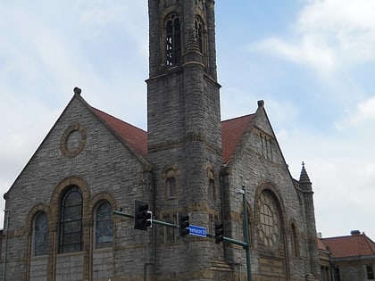
Saint Paul's Episcopal Church is a historic church in Norfolk, Virginia, United States. The Nave of the current church was built in 1739 and is the sole colonial-era building which survived the various wars that Norfolk has witnessed. The church has played host to several different denominations throughout its history. Originally a Church of England parish, the building was home to a Baptist parish in the early-19th century and was finally converted back into an Episcopal church. ()
Built: 1739 (287 years ago)Coordinates: 36°50'49"N, 76°17'7"W
Day trips
St. Paul's Episcopal Church – popular in the area (distance from the attraction)
Nearby attractions include: Chrysler Museum of Art, MacArthur Center, Harbor Park, Waterside.
Frequently Asked Questions (FAQ)
Which popular attractions are close to St. Paul's Episcopal Church?
Nearby attractions include MacArthur Memorial, Norfolk (5 min walk), Willoughby-Baylor House, Norfolk (5 min walk), Basilica of Saint Mary of the Immaculate Conception, Norfolk (5 min walk), Norfolk City Hall, Norfolk (6 min walk).
How to get to St. Paul's Episcopal Church by public transport?
The nearest stations to St. Paul's Episcopal Church:
Light rail
Bus
Ferry
Train
Light rail
- Civic Plaza • Lines: Tide (3 min walk)
- MacArthur Square • Lines: Tide (7 min walk)
Bus
- Norfolk Downtown Transit Center (7 min walk)
- Norfolk Greyhound Station (14 min walk)
Ferry
- Waterside • Lines: Elizabeth River Ferry (11 min walk)
- North Landing • Lines: Elizabeth River Ferry (21 min walk)
Train
- Norfolk (15 min walk)

