Rolling Hills, Rancho Palos Verdes
Map
Map

Facts and practical information
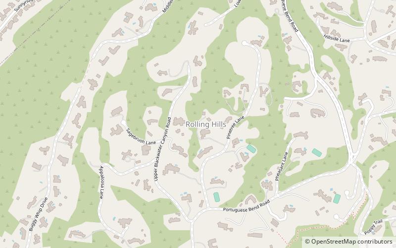
Rolling Hills is a city on the Palos Verdes Peninsula, in Los Angeles County, California, United States. Rolling Hills is a gated community with private roads with three entry gates. Homes are single-story 19th century California ranch or Spanish haciendas exemplified by architect Wallace Neff. Incorporated in 1957, Rolling Hills maintains a rural and equestrian character, with no traffic lights, multi-acre lots with ample space between homes, and wide equestrian paths along streets and property lines. ()
Day trips
Rolling Hills – popular in the area (distance from the attraction)
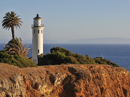
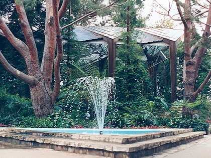
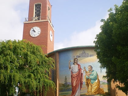
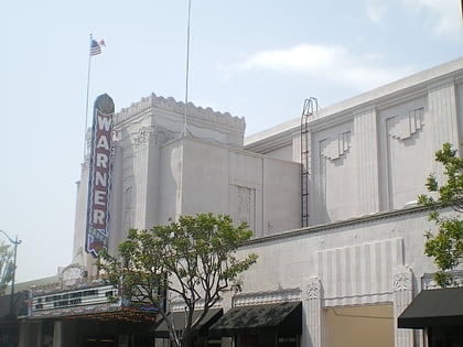
Nearby attractions include: Trump National Golf Club, Del Amo Fashion Center, Point Vicente Light, Wayfarers Chapel.


