St. Catherine Creek National Wildlife Refuge

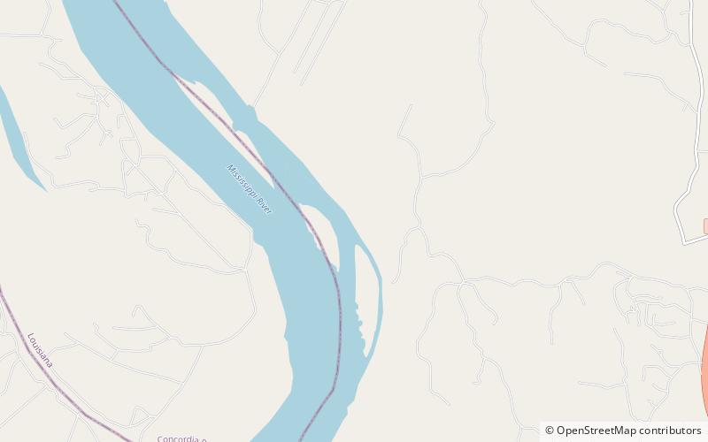
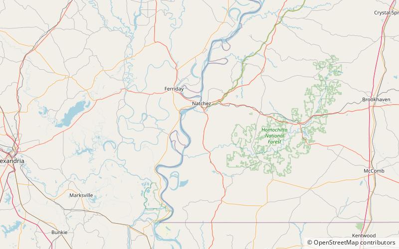
Map
Facts and practical information
St. Catherine Creek National Wildlife Refuge was established in January 1990 to preserve, improve and create habitat for waterfowl. Intensive management programs on the refuge provide excellent winter habitat and resting areas for waterfowl in the Lower Mississippi River Valley. ()
Established: 1990 (36 years ago)Coordinates: 31°24'9"N, 91°27'50"W
Day trips
St. Catherine Creek National Wildlife Refuge – popular in the area (distance from the attraction)
Nearby attractions include: Cliffs Plantation.
