State Fairgrounds Speedway, Raleigh
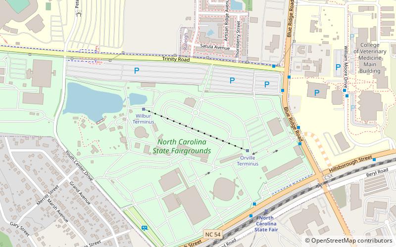
Map
Facts and practical information
Other speedways at state fairgrounds can be found at State Fairgrounds Speedway ()
Coordinates: 35°47'47"N, 78°42'41"W
Address
West RaleighRaleigh
ContactAdd
Social media
Add
Getting there by public transportation
Public transportation stops near this location
- Bus
- Train
 Bus
Bus
- Calculate routeBlue Ridge Rd at Trinity Rd 6 min walk
- Calculate routeHillsborough St at NC State Fairgrounds 7 min walk
- Calculate routeCarter-Finley Park and Ride 11 min walk
- Calculate routeNorth Carolina State Fair 7 min walk
Day trips


Frequently Asked Questions (FAQ)
Which popular attractions are close to State Fairgrounds Speedway?
Nearby attractions include North Carolina State Fair, Raleigh (1 min walk), Carter–Finley Stadium, Raleigh (14 min walk), JC Raulston Arboretum, Raleigh (20 min walk), PNC Arena, Raleigh (20 min walk).
How to get to State Fairgrounds Speedway by public transport?
The nearest stations to State Fairgrounds Speedway:
Bus
Train
Bus
- Blue Ridge Rd at Trinity Rd • Lines: 27 (6 min walk)
- Hillsborough St at NC State Fairgrounds • Lines: 27 (7 min walk)
Train
- North Carolina State Fair (7 min walk)