Research Triangle, Raleigh
Facts and practical information
The Research Triangle, or simply The Triangle, are both common nicknames for a metropolitan area in the Piedmont region of North Carolina in the United States, anchored by the cities of Raleigh and Durham and the town of Chapel Hill, home to three major research universities: North Carolina State University, Duke University, and University of North Carolina at Chapel Hill, respectively. The nine-county region, officially named the Raleigh–Durham–Cary combined statistical area, comprises the Raleigh–Cary and Durham–Chapel Hill Metropolitan Statistical Areas and the Henderson Micropolitan Statistical Area. The "Triangle" name originated in the 1950s with the creation of Research Triangle Park, located between the three anchor cities and home to numerous high tech companies. ()
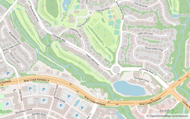
Northwest Raleigh (Brier Creek)Raleigh
- Bus
 Bus
Bus
- Calculate routeBrier Creek Pkwy at Brier Leaf Ln 19 min walk
- Calculate routeMacaw at Brasa Restaurant 20 min walk
- Calculate routeArco Corporate Dr at Macaw St 28 min walk


Frequently Asked Questions (FAQ)
How to get to Research Triangle by public transport?
Bus
- Brier Creek Pkwy at Brier Leaf Ln • Lines: 70X (19 min walk)
- Macaw at Brasa Restaurant • Lines: 70X (20 min walk)