Hallowell Historic District, Hallowell
Map

Map

Facts and practical information
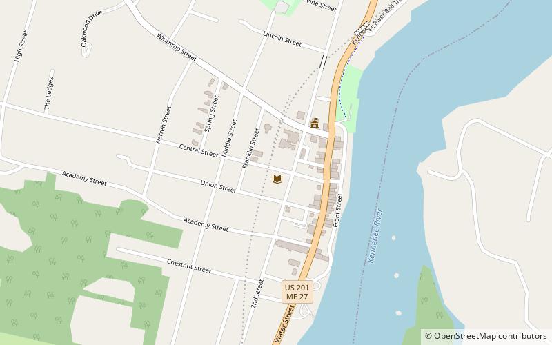
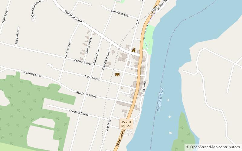
The Hallowell Historic District encompasses the historic 18th and 19th-century heart of Hallowell, Maine. The city developed as a major port on the Kennebec River, during which time its downtown and adjacent residential area were built up. Fully half of the area's more than 400 buildings were built before 1865. The district was listed on the National Register of Historic Places in 1970. ()
Built: 1825 (201 years ago)Coordinates: 44°17'10"N, 69°47'30"W
Address
Hallowell
ContactAdd
Social media
Add
Day trips
Hallowell Historic District – popular in the area (distance from the attraction)
Nearby attractions include: Harlow Gallery, Row House, St. Matthew's Episcopal Church, Hubbard Free Library.
Frequently Asked Questions (FAQ)
Which popular attractions are close to Hallowell Historic District?
Nearby attractions include Hubbard Free Library, Hallowell (1 min walk), Row House, Hallowell (2 min walk), St. Matthew's Episcopal Church, Hallowell (3 min walk), Harlow Gallery, Hallowell (3 min walk).


