B. T. Harvey Stadium, Atlanta
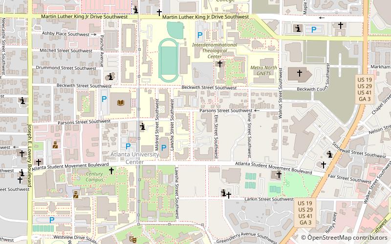
Map
Map

Facts and practical information
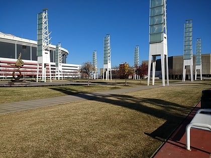
B.T. Harvey Stadium is a stadium in Atlanta, Georgia. It is primarily used for American football, and is the home field of the Morehouse College. ()
Capacity: 9000Coordinates: 33°44'44"N, 84°24'58"W
Address
Intown South (Atlanta University Center)Atlanta
ContactAdd
Social media
Add
Day trips
B. T. Harvey Stadium – popular in the area (distance from the attraction)
Nearby attractions include: Georgia Aquarium, College Football Hall of Fame, Philips Arena, Mercedes-Benz Stadium.
Frequently Asked Questions (FAQ)
Which popular attractions are close to B. T. Harvey Stadium?
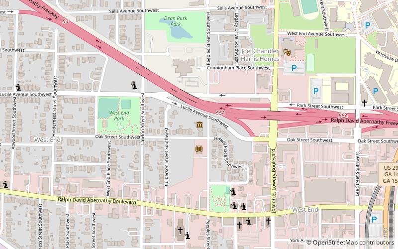
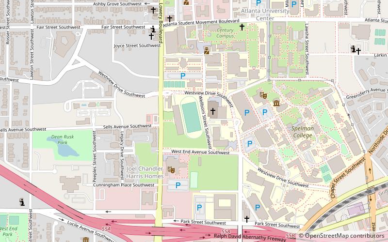
Nearby attractions include Spelman College Museum of Fine Art, Atlanta (7 min walk), Atlanta University Center, Atlanta (10 min walk), Hammonds House Museum, Atlanta (11 min walk), Ashview Heights, Atlanta (12 min walk).
How to get to B. T. Harvey Stadium by public transport?
The nearest stations to B. T. Harvey Stadium:
Metro
Bus
Metro
- West End • Lines: Gold, Red (18 min walk)
- Ashby • Lines: Blue, Green (20 min walk)
Bus
- West End Station • Lines: 832 (18 min walk)
- Atlanta Greyhound Bus Station (30 min walk)


