Abajo Mountains, Manti-La Sal National Forest
Map

Map

Facts and practical information
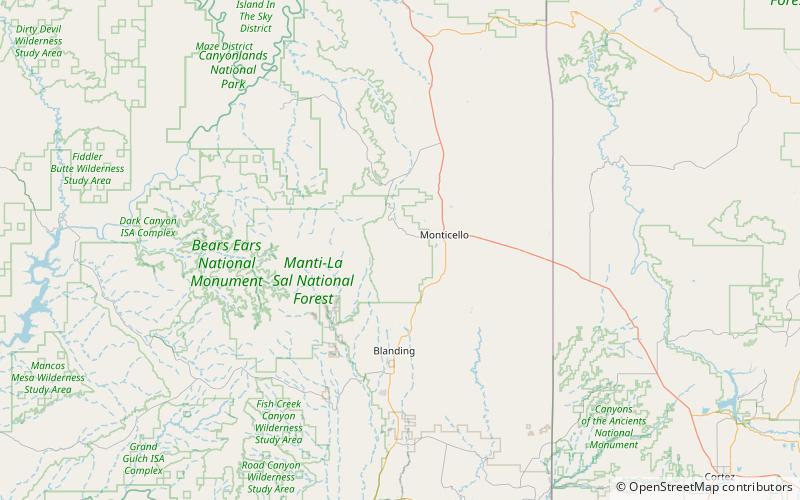
The Abajo Mountains, sometimes referred to as the Blue Mountains, is a small mountain range west of Monticello, Utah, south of Canyonlands National Park and north of Blanding, Utah. The mountain range is located within the Manti–La Sal National Forest. The highest point within the range is Abajo Peak at 11,360 feet. ()
Address
Manti-La Sal National Forest
ContactAdd
Social media
Add
Day trips
Abajo Mountains – popular in the area (distance from the attraction)
Nearby attractions include: Abajo Peak.

