Abajo Peak, Manti-La Sal National Forest

Gallery (1)
Map
Map
Facts and practical information
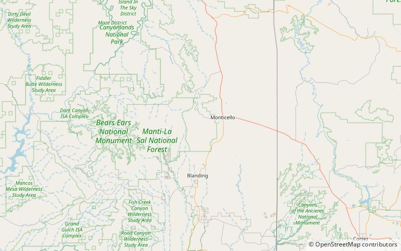
Abajo Peak is the highest peak in the Abajo Mountains of southeast Utah, United States and is located in the Manti-La Sal National Forest. The summit is 7 miles southwest of Monticello, Utah and 23 miles west of the Colorado border. There are several communication towers on the peak. ()
Address
Manti-La Sal National Forest
ContactAdd
Social media
Add
Day trips
Abajo Peak – popular in the area (distance from the attraction)
Nearby attractions include: Abajo Mountains.
