LaSalle Park, Buffalo
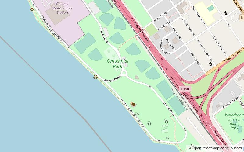
Map

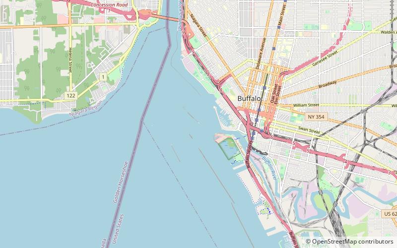
Map

Facts and practical information
LaSalle Park is an integral part of the three-neighborhood "Old Frenchtown" area—LaSalle Park, Lafayette Square and Soulard—bordering the southern edge of downtown St. Louis. It was formed as a "new" neighborhood, legally distinct from the larger Soulard district, through the efforts of local company Ralston Purina, which has its world headquarters in LaSalle Park, and the city of St. Louis, Missouri. ()
Elevation: 584 ft a.s.l.Coordinates: 42°53'29"N, 78°53'40"W
Day trips
LaSalle Park – popular in the area (distance from the attraction)
Nearby attractions include: Buffalo City Hall, Allentown, Main Place Mall, Niagara Square.
Frequently Asked Questions (FAQ)
Which popular attractions are close to LaSalle Park?
Nearby attractions include Turner Brothers' Building–American Household Storage Company, Buffalo (15 min walk), Fort Porter, Buffalo (17 min walk), The Karnak Flats, Buffalo (18 min walk), Fargo Estate Historic District, Buffalo (18 min walk).
How to get to LaSalle Park by public transport?
The nearest stations to LaSalle Park:
Light rail
Bus
Train
Light rail
- Lafayette Square • Lines: Metro (28 min walk)
- Fountain Plaza • Lines: Metro (28 min walk)
Bus
- FlixBus Buffalo • Lines: 2686 (32 min walk)
- Buffalo Greyhound Station • Lines: 0010, 0011 (32 min walk)
Train
- Buffalo-Exchange Street (35 min walk)


