Mount Phillips, Eagle Nest
Map

Gallery

Facts and practical information
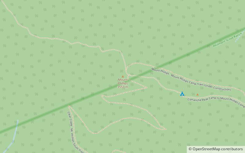
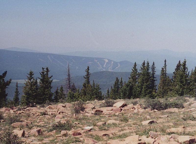
Mount Phillips, formerly called Clear Creek Mountain was renamed in 1960 in honor of the then living Waite Phillips, who donated the area to the Boy Scouts of America. It is located in Colfax County about 11 miles south of Baldy Mountain in the Cimarron Range, a subrange of the Sangre de Cristo Mountains of New Mexico. ()
Elevation: 11742 ftProminence: 2901 ftCoordinates: 36°28'36"N, 105°9'36"W
Address
Clear Creek–Mt. Phillips Tr.Eagle Nest 87718
ContactAdd
Social media
Add
Day trips
Mount Phillips – popular in the area (distance from the attraction)
Nearby attractions include: Cimarron Canyon State Park.

