Cimarron Canyon State Park, Eagle Nest Lake State Park

Gallery (2)
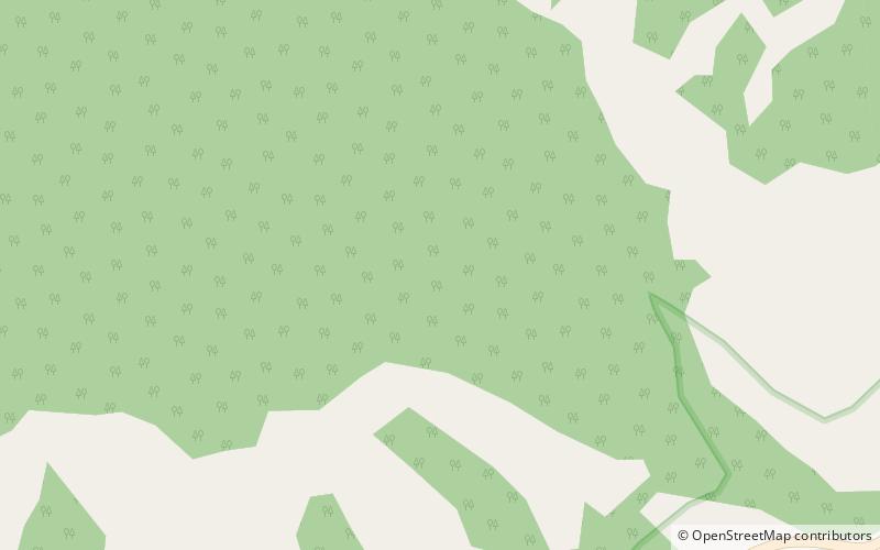
Map

Map
Gallery
Facts and practical information
Cimarron Canyon State Park is a state park of New Mexico, United States, located 3 miles east of Eagle Nest in the Colin Neblett Wildlife Area. The park extends for 8 miles along the Cimarron Canyon between Tolby Creek and Ute Park. The Palisades Sill forms spectacular cliffs above the Cimarron River here. ()
Established: 1979 (47 years ago)Elevation: 8711 ft a.s.l.Coordinates: 36°32'16"N, 105°10'30"W
Address
Eagle Nest Lake State Park
ContactAdd
Social media
Add
Day trips
Cimarron Canyon State Park – popular in the area (distance from the attraction)
Nearby attractions include: Mount Phillips.
