Mystic Bridge Historic District, Mystic
Map
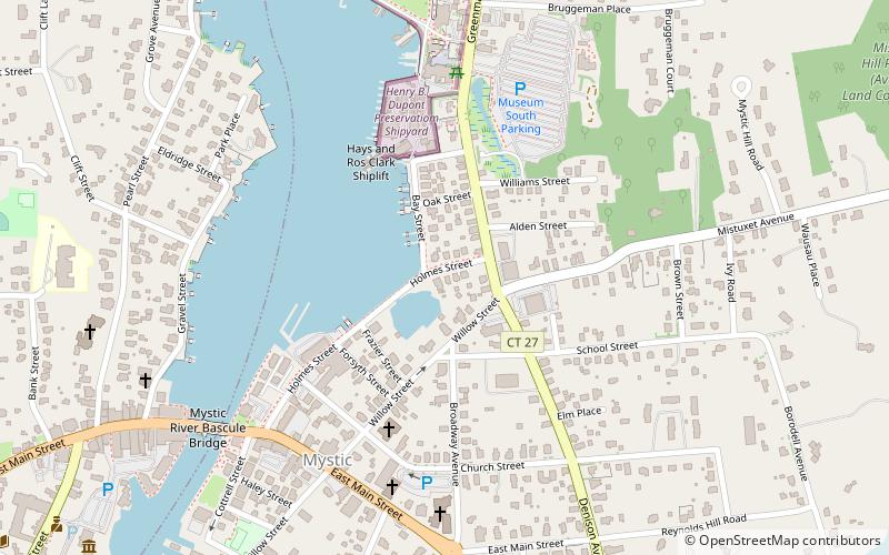
Map

Facts and practical information
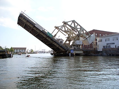
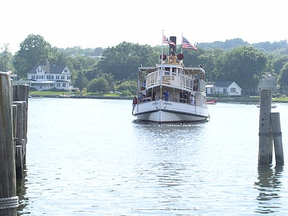
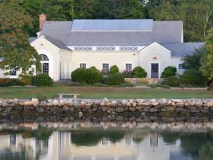
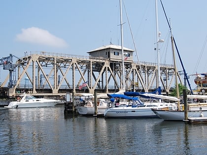
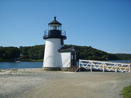
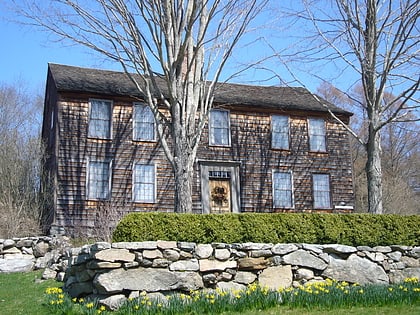
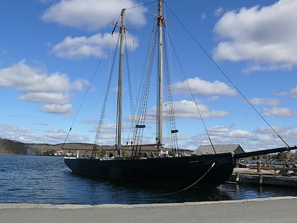
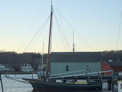
The Mystic Bridge Historic District is a historic district in the village of Mystic, Connecticut on the Stonington side of the Mystic River. It includes the Mystic Seaport Museum, whose grounds and floating vessels represent the area's history, and the 1924 Mystic River Bascule Bridge. The district is significant as a well-preserved shipbuilding and maritime village of the 19th and early 20th centuries, and it was added to the National Register of Historic Places in 1979. ()
Built: 1840 (186 years ago)Area: 155 acres (0.2422 mi²)Coordinates: 41°21'25"N, 71°57'51"W
Address
Mystic (Downtown Mystic)Mystic
ContactAdd
Social media
Add
Day trips
Mystic Bridge Historic District – popular in the area (distance from the attraction)
Nearby attractions include: Mystic Seaport, Mystic River Bascule Bridge, Charles W. Morgan Ship, Sabino.
Frequently Asked Questions (FAQ)
Which popular attractions are close to Mystic Bridge Historic District?
Nearby attractions include L. A. Dunton, Mystic (4 min walk), Emma C. Berry, Mystic (6 min walk), Rossie Velvet Mill Historic District, Mystic (7 min walk), Argia, Mystic (7 min walk).
How to get to Mystic Bridge Historic District by public transport?
The nearest stations to Mystic Bridge Historic District:
Train
Train
- Mystic (11 min walk)
