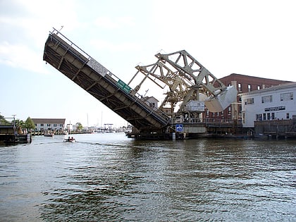
Mystic River Bascule Bridge, Mystic
Map
Gallery
Facts and practical information
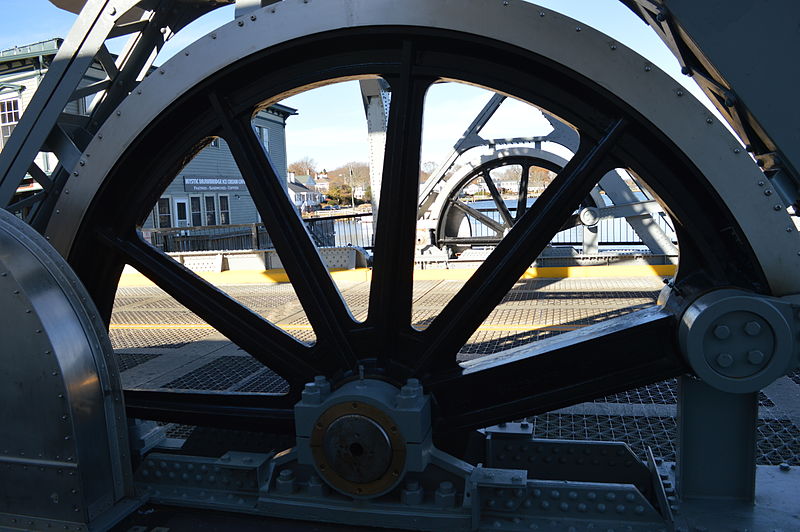
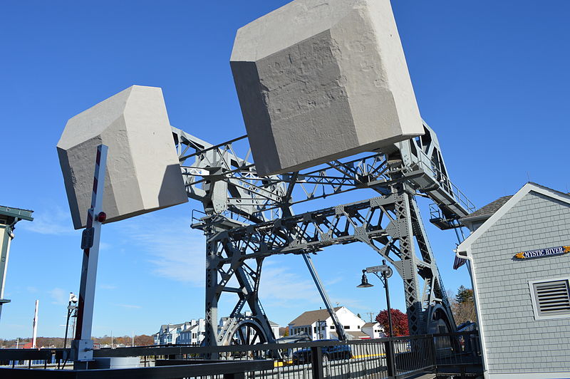
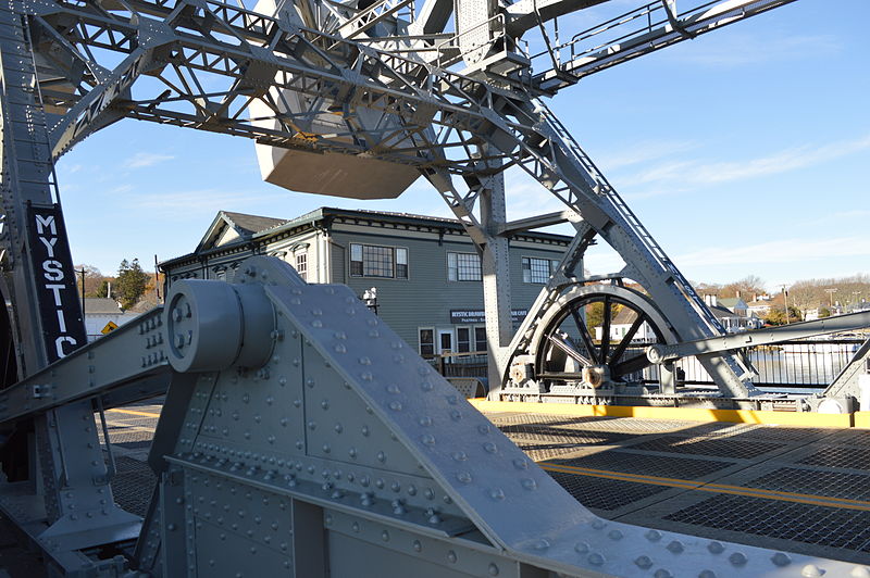
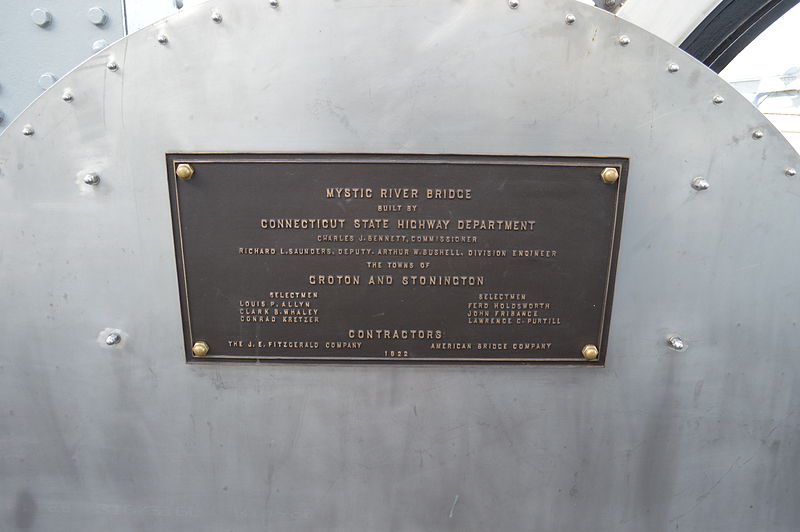
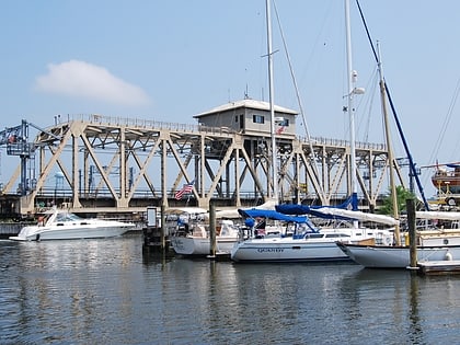
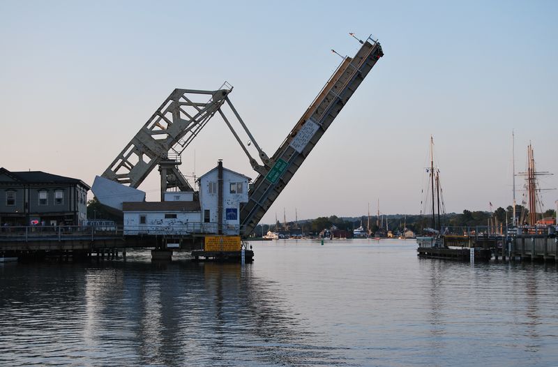
The Mystic River Bascule Bridge is a bascule bridge spanning the Mystic River in Mystic, Connecticut in the United States. It carries vehicle and foot traffic directly into the tourist district of town via 33 ft-wide Main Street. ()
Opened: 1920 (106 years ago)Length: 218 ftWidth: 85 ftCoordinates: 41°21'17"N, 71°58'7"W
Day trips
Mystic River Bascule Bridge – popular in the area (distance from the attraction)
Nearby attractions include: Mystic Seaport, Charles W. Morgan Ship, Sabino, Mystic Museum of Art.
Frequently Asked Questions (FAQ)
Which popular attractions are close to Mystic River Bascule Bridge?
Nearby attractions include Mystic Museum of Art, Mystic (5 min walk), Mystic Bridge Historic District, Mystic (7 min walk), L. A. Dunton, Mystic (8 min walk), Argia, Mystic (8 min walk).
How to get to Mystic River Bascule Bridge by public transport?
The nearest stations to Mystic River Bascule Bridge:
Train
Train
- Mystic (10 min walk)


