Eastern Neck National Wildlife Reserve, Eastern Neck National Wildlife Refuge

Gallery (1)
Map
Map
Facts and practical information
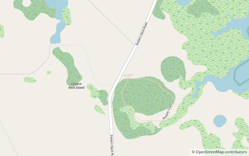
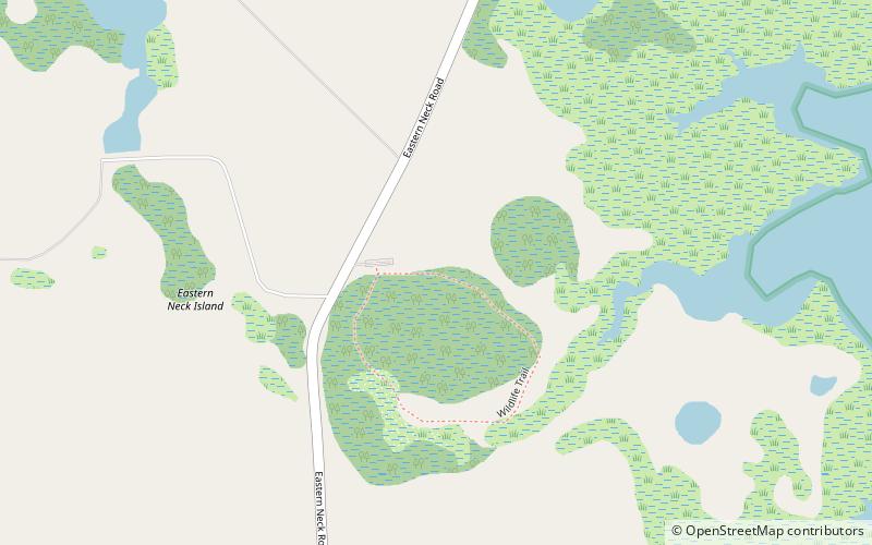
Eastern Neck National Wildlife Reserve is a place located in Eastern Neck National Wildlife Refuge (Maryland state) and belongs to the category of park, relax in park.
It is situated at an altitude of 7 feet, and its geographical coordinates are 39°1'51"N latitude and 76°13'23"W longitude.
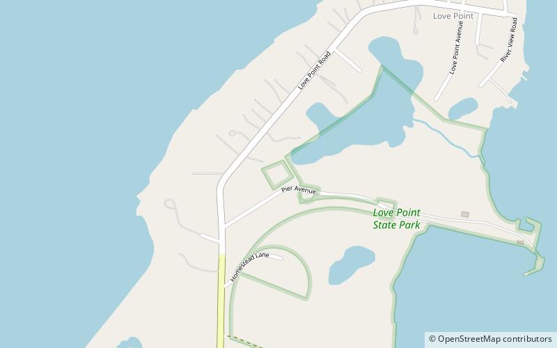
Among other places and attractions worth visiting in the area are: Chesapeake Marshlands National Wildlife Refuge Complex (nature, 2 min walk), Castle Harbor Marina, Chester (sailing, 114 min walk), Love Point, Kent Island (park, 119 min walk).
Elevation: 7 ft a.s.l.Coordinates: 39°1'51"N, 76°13'23"W
Day trips