Love Point, Kent Island

Map
Facts and practical information
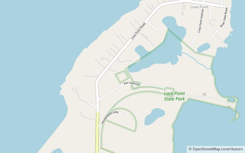
Love Point is the name for the northernmost tip of Kent Island, Maryland, United States and as such, marks the southern point of the mouth of the Chester River. It has served as a major ferry terminal, the western terminus of the Queen Anne's Railroad, and the nominal western terminus of Maryland Route 18. Two notable landmarks once stood at the Love Point area; the Love Point Light and Hotel Love Point, both of which are destroyed. Today, Love Point is primarily a residential area. ()
Elevation: 7 ft a.s.l.Coordinates: 39°2'0"N, 76°18'33"W
Day trips
Love Point – popular in the area (distance from the attraction)
Nearby attractions include: Cross Island Trail, Christ Church, Matapeake State Park, Castle Harbor Marina.


