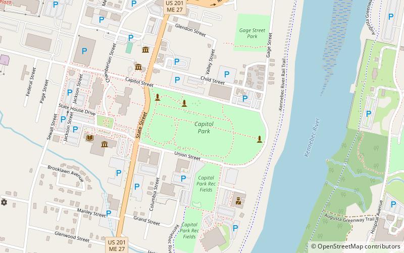
Capitol Park, Augusta
Map

Map

Facts and practical information
Capitol Park is a state-owned public park in Maine's state capitol complex on the west side of Augusta, Maine. Set aside in 1827, when the complex was established, the park, set between the Maine State House and the Kennebec River, served as a parade ground and encampment site during the American Civil War, and saw agricultural use before being formally designed as a park in the 1920s by the Olmsted Brothers. The park was listed on the National Register of Historic Places in 1989. ()
Built: 1827 (199 years ago)Elevation: 89 ft a.s.l.Coordinates: 44°18'23"N, 69°46'42"W
Day trips
Capitol Park – popular in the area (distance from the attraction)
Nearby attractions include: Maine State House, The Blaine House, Maine State Museum, Capitol Complex Historic District.
Frequently Asked Questions (FAQ)
Which popular attractions are close to Capitol Park?
Nearby attractions include Capitol Complex Historic District, Augusta (3 min walk), Maine State House, Augusta (5 min walk), The Blaine House, Augusta (5 min walk), Maine State Library, Augusta (6 min walk).
How to get to Capitol Park by public transport?
The nearest stations to Capitol Park:
Bus
Bus
- Greyhound (28 min walk)


