Mount Churchill, Wrangell–Saint Elias Wilderness

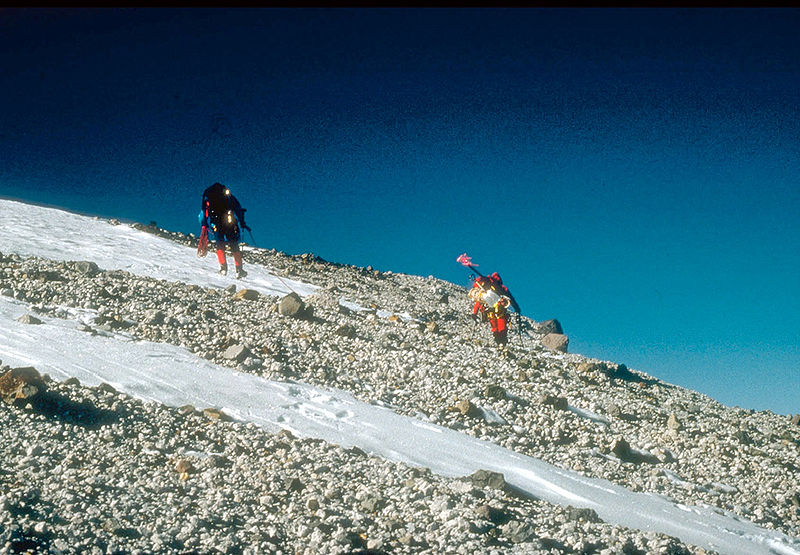
Gallery (2)
Map
Map
Gallery
Facts and practical information
Mount Churchill is a volcano in the Saint Elias Mountains and the Wrangell Volcanic Field of eastern Alaska. Churchill and its higher neighbor Mount Bona about 2 mi to the southwest are both large ice-covered stratovolcanoes, with Churchill being the fourth highest volcano in the United States and the seventh highest in North America. ()
Alternative names: Last eruption: 700First ascent: 1951Elevation: 15638 ftProminence: 1188 ftCoordinates: 61°25'10"N, 141°42'54"W
Address
Wrangell–Saint Elias Wilderness
ContactAdd
Social media
Add
Day trips