South Burlingame, Portland
Map

Map

Facts and practical information
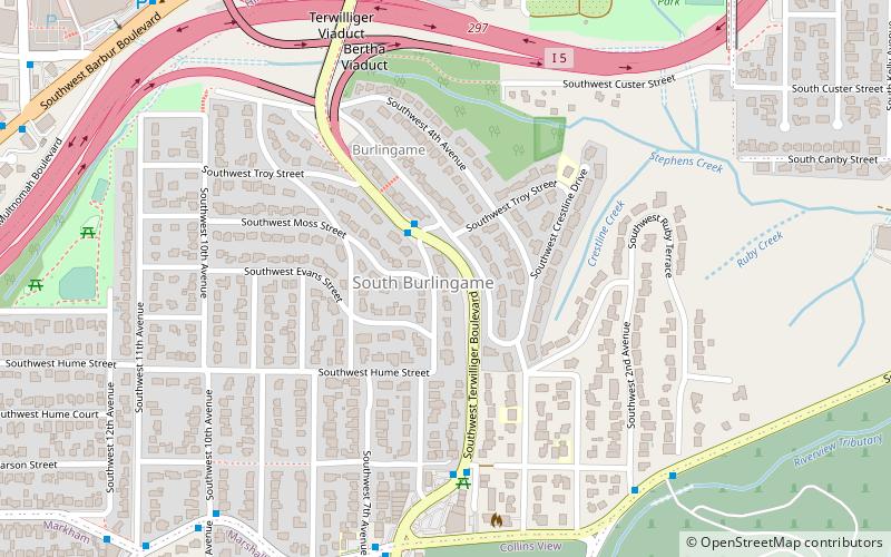
South Burlingame is a neighborhood in the Southwest section of Portland, Oregon. It is bordered by Multnomah to the west, Hillsdale and South Portland to the north, the River View Cemetery to the east, and Markham, Marshall Park, and Collins View to the south. ()
Coordinates: 45°28'0"N, 122°41'2"W
Day trips
South Burlingame – popular in the area (distance from the attraction)
Nearby attractions include: Oaks Amusement Park, Hoffman Art Gallery, Herschell–Spillman Noah's Ark Carousel, Agnes Flanagan Chapel.
Frequently Asked Questions (FAQ)
Which popular attractions are close to South Burlingame?
Nearby attractions include Beth Israel Cemetery, Portland (8 min walk), Grand Army of the Republic Cemetery, Portland (11 min walk), River View Cemetery, Portland (14 min walk), Butterfly Park, Portland (19 min walk).
How to get to South Burlingame by public transport?
The nearest stations to South Burlingame:
Bus
Train
Bus
- Southwest Terwilliger & 6th • Lines: 38 (2 min walk)
- Southwest Terwilliger & Carson • Lines: 38, 65 (5 min walk)
Train
- Oaks Park (30 min walk)


