Trek Zone

Cannon Valley Trail, Cannon Falls

#1 among attractions in Cannon Falls

Hiking, Hiking trail
Cannon Valley Trail

Facts and practical information

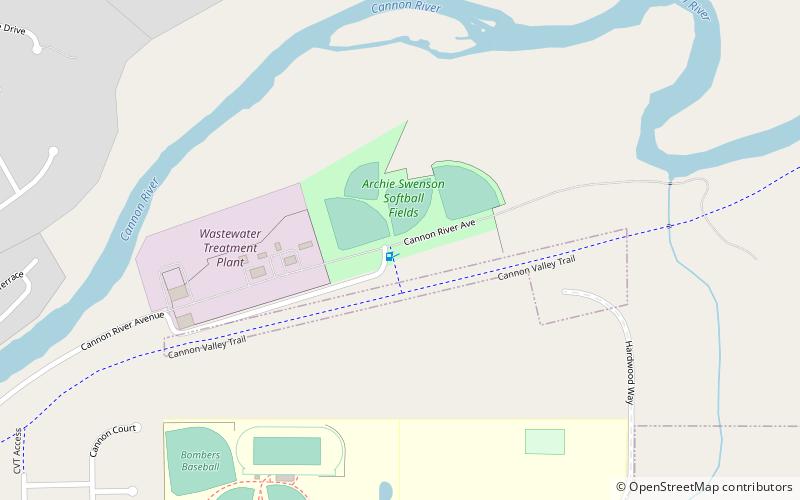
Cannon Valley Trail (address: Office - 825 Cannon River Ave) is a place located in Cannon Falls (Minnesota state) and belongs to the category of hiking, hiking trail.

It is situated at an altitude of 791 feet, and its geographical coordinates are 44°31'0"N latitude and 92°53'10"W longitude.

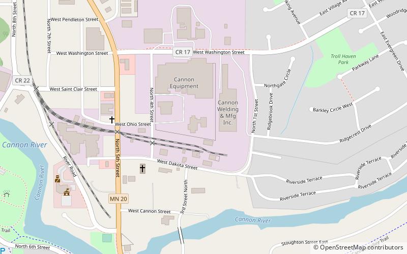
Among other places and attractions worth visiting in the area are: Cannon Falls Public Library (library, 22 min walk), Third Street Bridge (bridge, 24 min walk), Church of the Redeemer (church, 28 min walk).

Coordinates: 44°31'0"N, 92°53'10"W
Address

Office - 825 Cannon River AveCannon Falls United States

Contact
Social media
Add

Cannon Falls plan & book

Unleash the traveler in you — discover the cheapest flight deals, find the perfect hotel or hostel nearby, and search for the best car rental prices. Travel at your own pace to discover new places and enjoy your journey.

Day trips

Cannon Valley Trail – popular in the area (distance from the attraction)

Nearby attractions include: Church of the Redeemer, Third Street Bridge, Cannon Falls Public Library, Cannon Falls VFW Post 4452.

  • church of the redeemer cannon falls1.1 miSW
  • third street bridge cannon falls0.9 miW
  • cannon falls public library location map
    0.8 miW
  • cannon falls vfw post 44521.1 miSW

Frequently Asked Questions (FAQ)

Which popular attractions are close to Cannon Valley Trail?

Nearby attractions include Cannon Falls Public Library, Cannon Falls (22 min walk), Third Street Bridge, Cannon Falls (24 min walk).

Where to next? Visit minnesota Minnesota region page or discover the top tourist attractions in United States.