Cerro Coso Community College, Bakersfield


Facts and practical information
Cerro Coso Community College is a public community college in the Eastern Sierra region of Southern California. It was established in 1973 as a separate college within the Kern Community College District. The college offers traditional and online courses and two-year degrees. The college serves an area of approximately 18,000-square-miles. Cerro Coso has five instructional sites: Eastern Sierra Center Bishop and Mammoth Lakes, Indian Wells Valley, Kern River Valley, and South Kern. The college also has an Incarcerated Student Education Program in two locations, the California City Correctional Facility and Tehachapi California Correctional Institution. ()
Cerro Coso Community College – popular in the area (distance from the attraction)
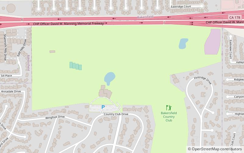
Nearby attractions include: Kern County Museum, Buena Vista Museum of Natural History & Science, Bakersfield Country Club, First Baptist Church.
Frequently Asked Questions (FAQ)
How to get to Cerro Coso Community College by public transport?
Bus
- C • Lines: 21 (3 min walk)
- D • Lines: 41 (3 min walk)


