Trek Zone

Monongahela River, Brownsville

#7 among attractions in Brownsville

Museum
Monongahela River

Facts and practical information

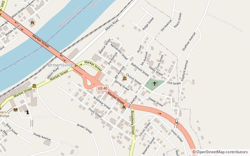
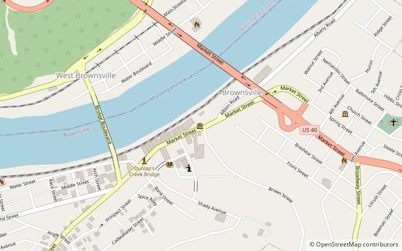
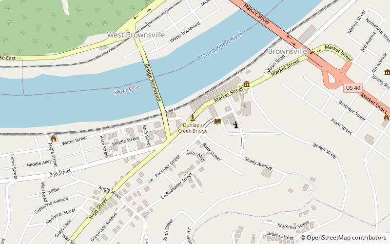
Monongahela River (address: 412 Church St) is a place located in Brownsville (Pennsylvania state) and belongs to the category of museum.

It is situated at an altitude of 938 feet, and its geographical coordinates are 40°1'23"N latitude and 79°52'46"W longitude.

Among other places and attractions worth visiting in the area are: St. Peter's Church (church, 3 min walk), Bowman's Castle (forts and castles, 7 min walk), Flatiron Building (museum, 9 min walk).

Coordinates: 40°1'23"N, 79°52'46"W
Address

412 Church StBrownsville United States

ContactAdd
Social media
Add

Brownsville plan & book

Unleash the traveler in you — discover the cheapest flight deals, find the perfect hotel or hostel nearby, and search for the best car rental prices. Travel at your own pace to discover new places and enjoy your journey.

Day trips

Monongahela River – popular in the area (distance from the attraction)

Nearby attractions include: Brownsville Bridge, Bowman's Castle, Dunlap's Creek Bridge, Lane Bane Bridge.

  • brownsville bridge0.5 miW
  • bowmans castle brownsville~1240 ftW
  • dunlaps creek bridge brownsville0.5 miW
  • lane bane bridge brownsville~1800 ftNW
  • flatiron building brownsville location map
    ~1740 ftW
  • st peters church brownsville~570 ftE
  • brownsville commercial historic district0.4 miW
  • redstone old fort brownsville location map
    0.5 miW

Frequently Asked Questions (FAQ)

Which popular attractions are close to Monongahela River?

Nearby attractions include St. Peter's Church, Brownsville (3 min walk), Bowman's Castle, Brownsville (7 min walk), Flatiron Building, Brownsville (9 min walk), Lane Bane Bridge, Brownsville (9 min walk).

Where to next? Visit pennsylvania Pennsylvania region page or discover the top tourist attractions in United States.