Brownsville Bridge, Brownsville
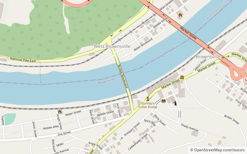
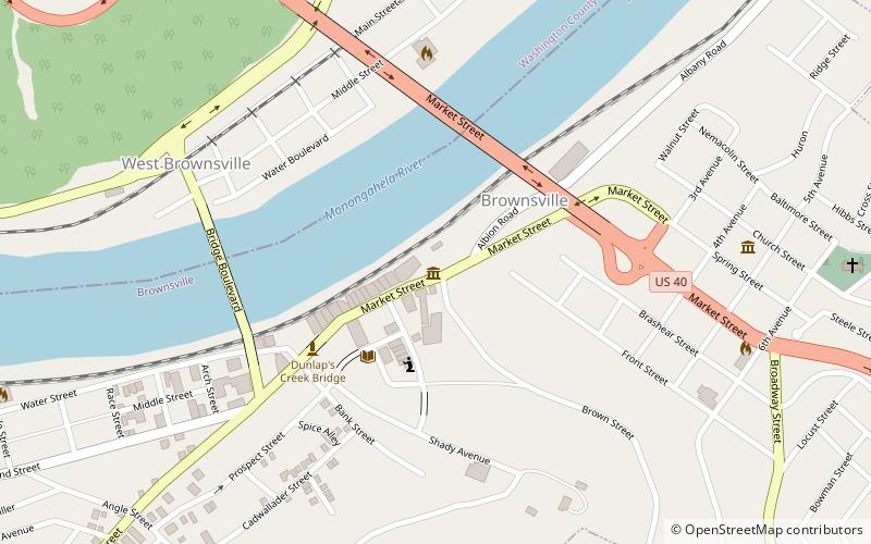
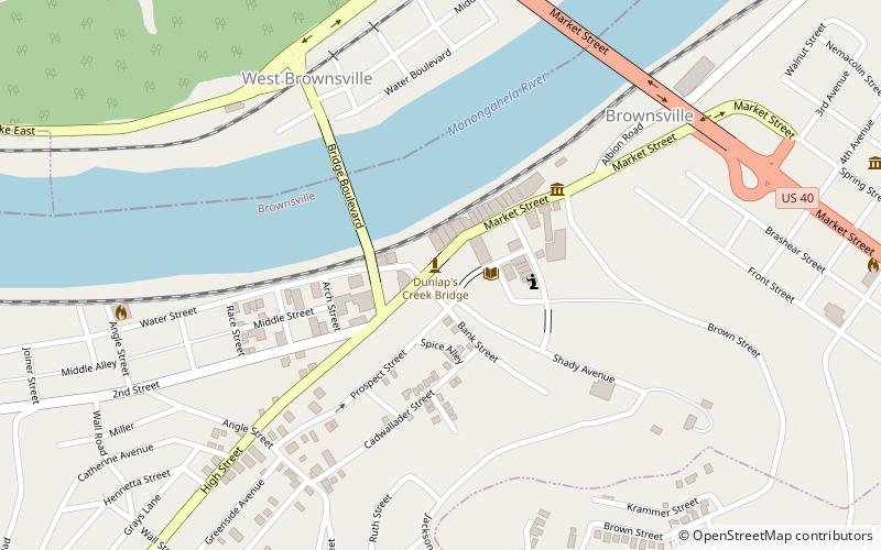
Map

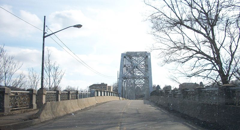
Gallery

Facts and practical information
The Brownsville Bridge, also known as the Intercounty Bridge and the West Brownsville Bridge, is a truss bridge that carries vehicular traffic across the Monongahela River between Brownsville, Pennsylvania and West Brownsville, Pennsylvania. Since the opening of the Lane Bane Bridge and highway project to carry much of the intercounty through traffic away from the main streets of downtown Brownsville in the early 1960s, another commonly heard name is Old Brownsville Bridge for the four high level viaduct. ()
Opened: 1914 (112 years ago)Length: 945 ftWidth: 23 ftCoordinates: 40°1'21"N, 79°53'23"W
Address
Brownsville
ContactAdd
Social media
Add
Day trips
Brownsville Bridge – popular in the area (distance from the attraction)
Nearby attractions include: Bowman's Castle, Dunlap's Creek Bridge, Lane Bane Bridge, Flatiron Building.
Frequently Asked Questions (FAQ)
Which popular attractions are close to Brownsville Bridge?
Nearby attractions include Dunlap's Creek Bridge, Brownsville (3 min walk), Redstone Old Fort, Brownsville (4 min walk), Brownsville Commercial Historic District, Brownsville (5 min walk), Flatiron Building, Brownsville (6 min walk).


