Berry State Aid Bridge, Niobrara National Scenic River

Gallery (1)
Map
Map
Facts and practical information
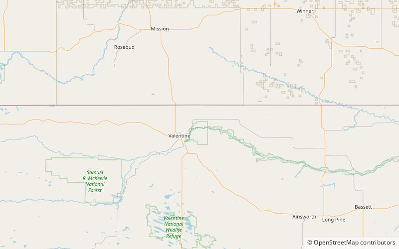
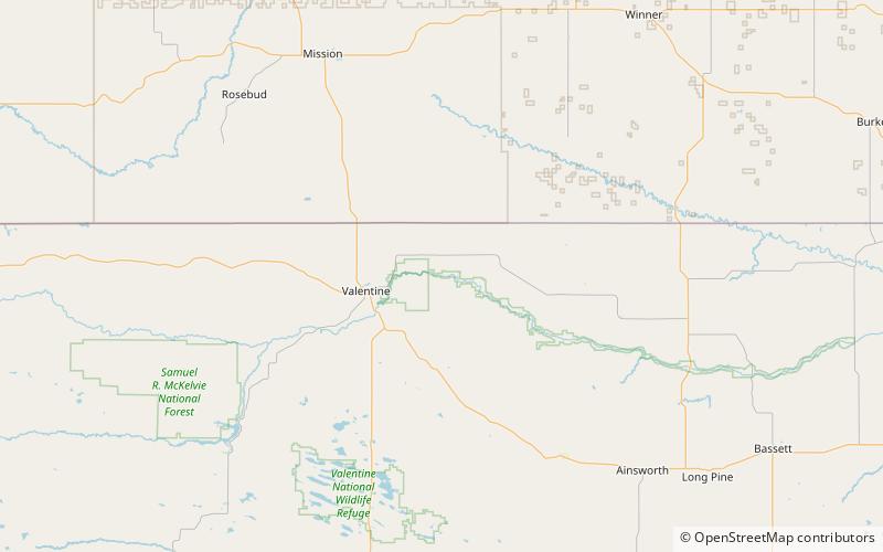
The Berry State Aid Bridge spans the Niobrara River in Cherry County, Nebraska near Valentine, Nebraska. It is a historic Pratt through truss bridge that is listed on the National Register of Historic Places. ()
Built: 1920 (106 years ago)Coordinates: 42°54'7"N, 100°21'43"W
Address
Niobrara National Scenic River
ContactAdd
Social media
Add
Day trips