Niobrara National Forest, Fort Niobrara Wilderness

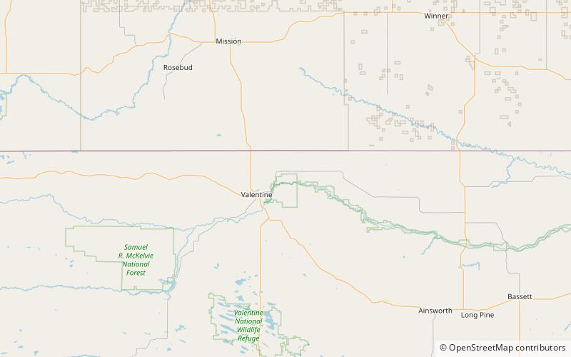
Map
Facts and practical information
Niobrara National Forest was established as the Niobrara Forest Reserve by the General Land Office in Nebraska on April 16, 1902 with 123,779 acres. After the transfer of federal forests to the U.S. Forest Service in 1905, it became a National Forest on March 4, 1907. On July 1, 1908 the entire forest was combined with Nebraska National Forest and the name was discontinued. ()
Coordinates: 42°55'16"N, 100°26'20"W
Address
Fort Niobrara Wilderness
ContactAdd
Social media
Add
Day trips
Niobrara National Forest – popular in the area (distance from the attraction)
Nearby attractions include: Valentine Public School, Borman Bridge, Berry State Aid Bridge, Fort Niobrara National Wildlife Refuge.


