Mount Breitenbach, Salmon–Challis National Forest
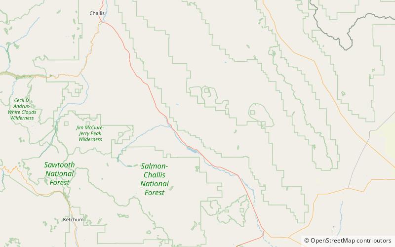
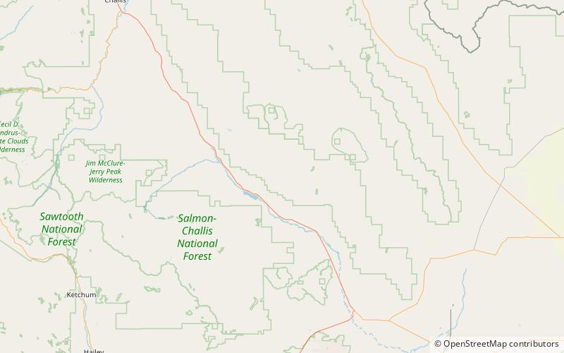
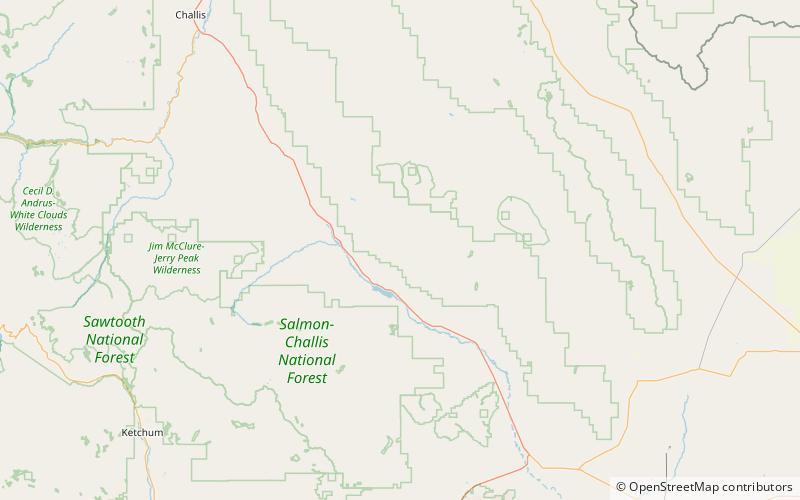
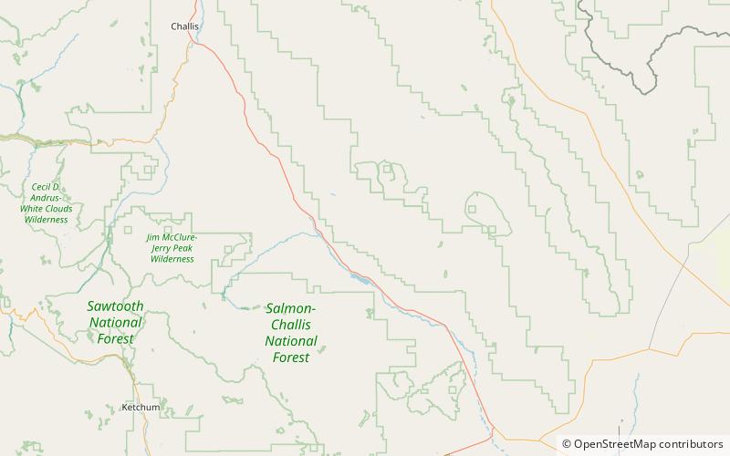
Map

Map

Facts and practical information
Mount Breitenbach, at 12,140 feet above sea level, is the fifth-highest peak in the U.S. state of Idaho and the fourth-highest in the Lost River Range. The peak is located in Salmon-Challis National Forest in Custer County. It is 2.0 miles east of Mount Church, its line parent, 1.4 miles east of Donaldson Peak, 0.85 miles southeast of No Regret Peak, and 1.8 miles north of Lost River Peak. ()
Elevation: 12140 ftProminence: 620 ftCoordinates: 44°3'60"N, 113°40'23"W
Address
Salmon–Challis National Forest
ContactAdd
Social media
Add
Day trips
Mount Breitenbach – popular in the area (distance from the attraction)
Nearby attractions include: Borah Peak, Merriam Lake, Leatherman Peak, Donaldson Peak.


