USGS Peak, Salmon–Challis National Forest

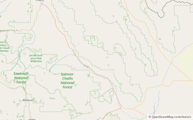
Map
Facts and practical information
USGS Peak, at 11,982 feet above sea level, is the tenth-highest peak in the U.S. state of Idaho and the eighth-highest in the Lost River Range. The peak is located in Salmon-Challis National Forest in Custer County. It is 4.15 miles southeast of Lost River Peak, its line parent. ()
Elevation: 11982 ftProminence: 1782 ftCoordinates: 44°0'48"N, 113°34'55"W
Address
Salmon–Challis National Forest
ContactAdd
Social media
Add
Day trips
USGS Peak – popular in the area (distance from the attraction)
Nearby attractions include: Mount Breitenbach, Lost River Peak, No Regret Peak.


