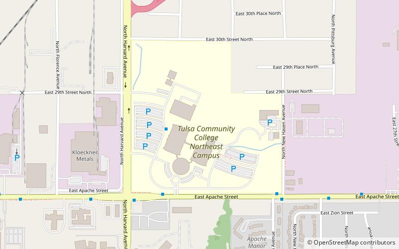
Tulsa Community College, Tulsa
Map
Facts and practical information
Tulsa Community College is a public community college in Tulsa, Oklahoma. It was founded in 1970 and is the largest two-year college in Oklahoma. It serves approximately 23,000 students per year in classes. TCC consists of four main campuses, two community campuses, and a conference center situated throughout the Tulsa metropolitan area with an annual budget of approximately $112 million. The college employs about 2,270 people, including 280 full-time faculty and 536 adjunct faculty. ()
Established: 1970 (56 years ago)Coordinates: 36°11'39"N, 95°56'14"W
Getting there by public transportation
Public transportation stops near this location
- Bus
 Bus
Bus
- Calculate routeTulsa Community College Northeast Campus 3 min walk
Day trips


Frequently Asked Questions (FAQ)
How to get to Tulsa Community College by public transport?
The nearest stations to Tulsa Community College:
Bus
Bus
- Tulsa Community College Northeast Campus • Lines: 401, 460 (3 min walk)