Ski Bluewood, Umatilla National Forest

Map
Facts and practical information
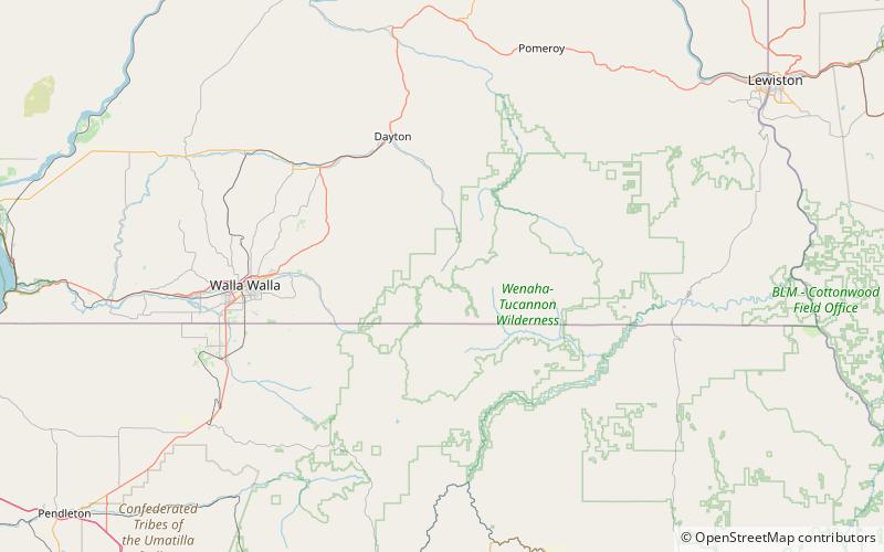
Ski Bluewood, formerly known as "Bluewood Ski Area," is an alpine ski area in the northwestern United States, in southeastern Washington. Located in Columbia County, at the northern end of the Blue Mountains in the Umatilla National Forest, the elevation at the base area is 4,545 feet above sea level, with a summit of 5,670 feet for a vertical drop of 1,125 feet. The northward-facing slopes are about four miles north of the Oregon border and fifty miles west of Idaho, part of the headwaters of the Touchet River, the main tributary of the Walla Walla River. ()
Longest run: 2.2 miBase elevation: 4545 ftTop elevation: 5670 ftCoordinates: 46°4'55"N, 117°51'4"W
Day trips
Ski Bluewood – popular in the area (distance from the attraction)
Nearby attractions include: Milk Shakes.
