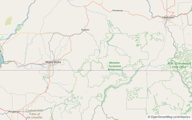
Milk Shakes, Wenaha–Tucannon Wilderness

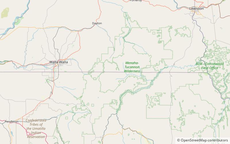
Map
Facts and practical information
Milk Shakes is a mountain in Columbia County, Washington, in the United States. With an elevation of 5,797 feet, Milk Shakes is the 911th highest summit in the state of Washington. ()
Coordinates: 46°0'19"N, 117°54'11"W
Address
Wenaha–Tucannon Wilderness
ContactAdd
Social media
Add
Day trips
Milk Shakes – popular in the area (distance from the attraction)
Nearby attractions include: Ski Bluewood, Wenaha National Forest, Walla Walla Valley AVA.


