Hacienda de la Paz, Rancho Palos Verdes

Facts and practical information
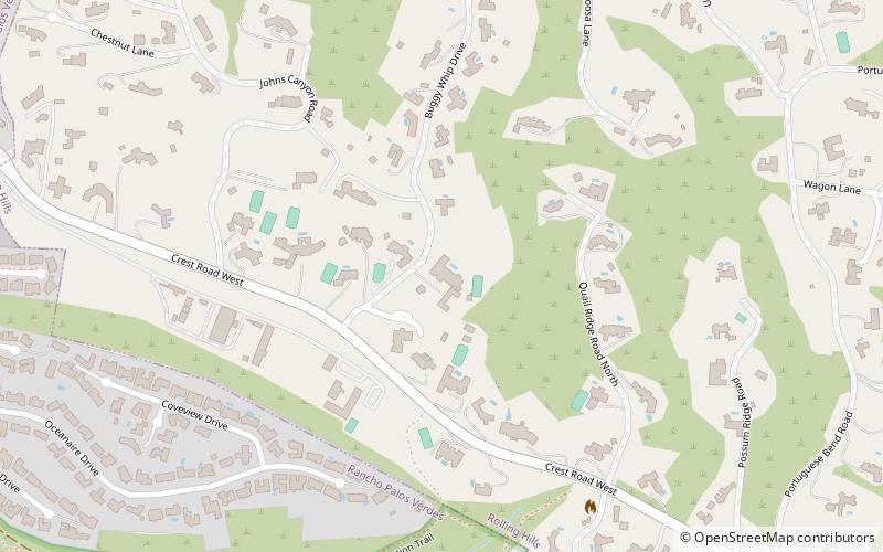
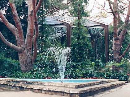
Hacienda de la Paz is a large estate property in the city of Rolling Hills, on the Palos Verdes Peninsula in the Los Angeles area of Southern California. It was designed by the 2010 Driehaus Prize winner Rafael Manzano Martos with decorator Manuel Gavira Sanjuan for owner/builder John Z. Blazevich and is Martos' only project in the Americas. Construction began with two parcels of land in 1993 and final completion was not until 2008. It is the 36th largest home ever built in the United States, still standing. ()
South Bay (Rolling Hills)Rancho Palos Verdes
Hacienda de la Paz – popular in the area (distance from the attraction)
Nearby attractions include: Wayfarers Chapel, Del Cerro Park, Congregation Ner Tamid, Rolling Hills.


