Hudson Waterfront, Jersey City
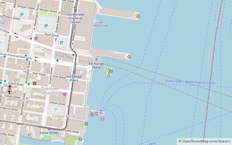
Map
Gallery
Facts and practical information
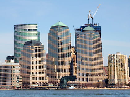
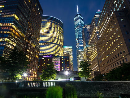
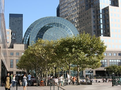
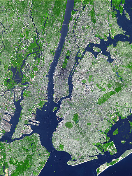
The Hudson Waterfront is an urban area of northeastern New Jersey along the lower reaches of the Hudson River, the Upper New York Bay and the Kill van Kull. Though the term can specifically mean the shoreline, it is often used to mean the contiguous urban area between the Bayonne Bridge and the George Washington Bridge that is approximately 19 miles long. Historically, the region has been known as Bergen Neck, the lower peninsula, and Bergen Hill, lower Hudson Palisades. It has sometimes been called the Gold Coast. ()
Area: 35.7 mi²Coordinates: 40°42'58"N, 74°1'52"W
Day trips
Hudson Waterfront – popular in the area (distance from the attraction)
Nearby attractions include: Brookfield Place, 225 Liberty Street, Newport Centre, World Financial Center Plaza.
Frequently Asked Questions (FAQ)
Which popular attractions are close to Hudson Waterfront?
Nearby attractions include Katyń Memorial, Jersey City (3 min walk), 101 Hudson Street, Jersey City (6 min walk), 99 Hudson Street, Jersey City (6 min walk), Greene Hook, Jersey City (7 min walk).
How to get to Hudson Waterfront by public transport?
The nearest stations to Hudson Waterfront:
Metro
Ferry
Light rail
Bus
Metro
- Exchange Place • Lines: Hob–Wtc, Nwk–Wtc (4 min walk)
- Grove Street • Lines: Jsq–33, JSQ–33 via HOB, Nwk–Wtc (17 min walk)
Ferry
- Paulus Hook Ferry Terminal (5 min walk)
- Warren Street (16 min walk)
Light rail
- Exchange Place • Lines: Hblr (5 min walk)
- Harborside Financial Center • Lines: Hblr (8 min walk)
Bus
- Washington Boulevard at Path Station • Lines: 126 (20 min walk)
- Marin Boulevard at 8th Street • Lines: 126 (23 min walk)


