Battery Park City, New York City
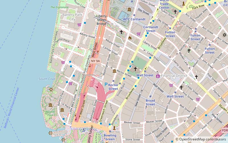
Map
Gallery
Facts and practical information
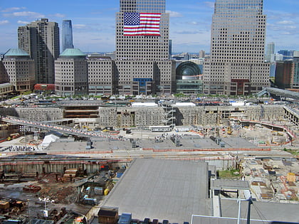
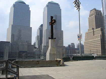
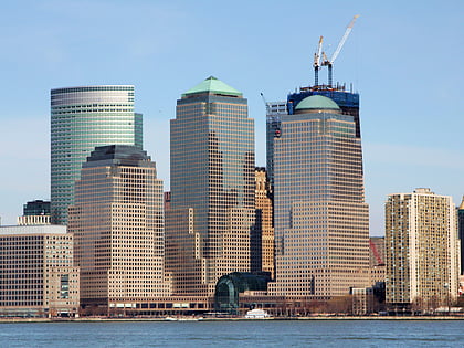
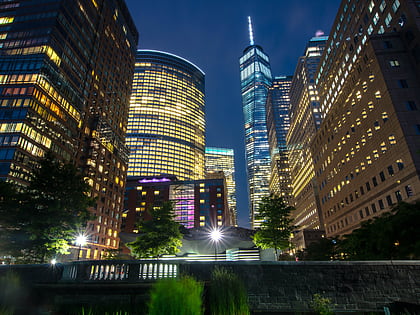
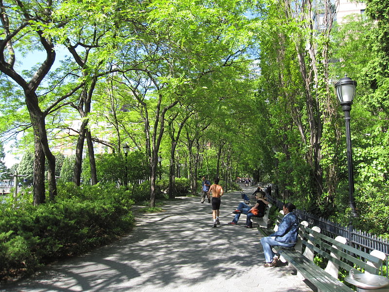
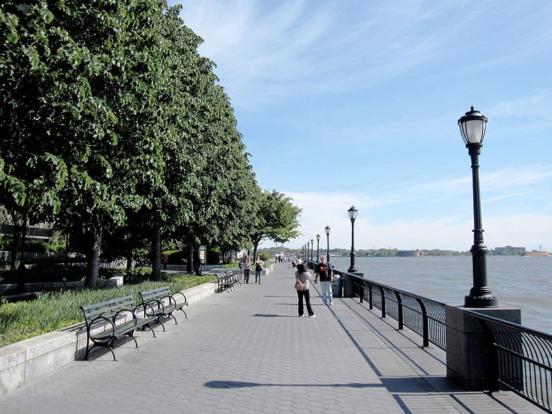
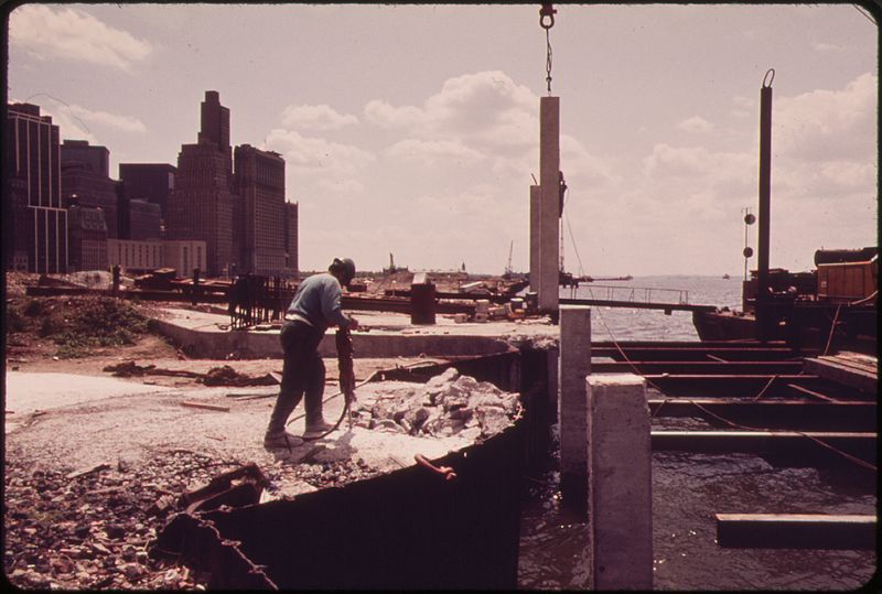
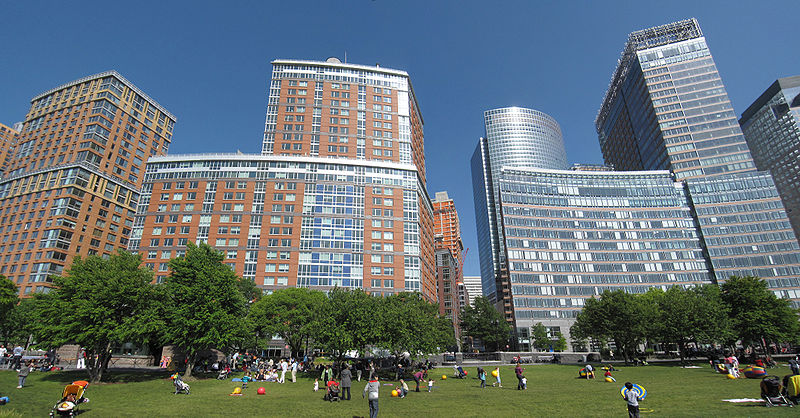
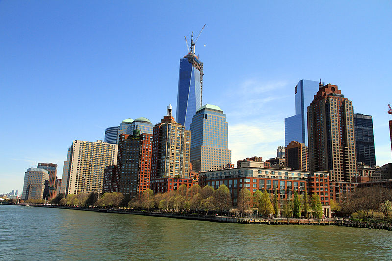
Battery Park City is a mainly residential 92-acre planned community and neighborhood on the west side of the southern tip of the island of Manhattan in New York City. It is bounded by the Hudson River on the west, the Hudson River shoreline on the north and south, and the West Side Highway on the east. The neighborhood is named for The Battery, formerly known as Battery Park, located directly to the south. ()
Day trips
Battery Park City – popular in the area (distance from the attraction)
Nearby attractions include: National September 11 Memorial & Museum, One World Trade Center, Brookfield Place, 225 Liberty Street.
Frequently Asked Questions (FAQ)
Which popular attractions are close to Battery Park City?
Nearby attractions include One World Financial Center, New York City (2 min walk), Shearwater, New York City (3 min walk), 90 West Street, New York City (4 min walk), Brookfield Place, New York City (4 min walk).
How to get to Battery Park City by public transport?
The nearest stations to Battery Park City:
Metro
Ferry
Bus
Light rail
Metro
- WTC Cortlandt • Lines: 1 (7 min walk)
- World Trade Center • Lines: Hob–Wtc, Nwk–Wtc (7 min walk)
Ferry
- Brookfield Place / Battery Park City Ferry Terminal (8 min walk)
- Battery Park • Lines: Sc-Ny (14 min walk)
Bus
- Church Street/Liberty Street • Lines: M55 (8 min walk)
- Trinity Place/Rector Street • Lines: M55 (8 min walk)
Light rail
- Exchange Place • Lines: Hblr (25 min walk)
- Essex Street • Lines: Hblr (26 min walk)



 Subway
 Manhattan Buses


