Bridle Trails State Park, Bellevue
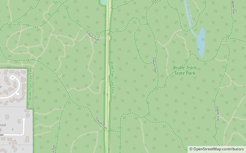
Map

Map

Facts and practical information
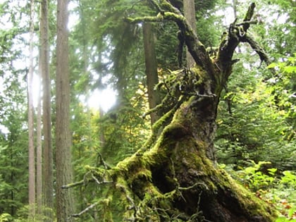
Bridle Trails State Park is a 489-acre state park in the Bridle Trails neighborhood in an unincorporated part of the Eastside area of King County, Washington. Established in 1932 and developed in 1933 by the Civil Works Administration, primary features of the park include a forested trail system shared by pedestrians and equestrians and an outdoor arena used for equestrian purposes. ()
Elevation: 512 ft a.s.l.Coordinates: 47°39'12"N, 122°10'26"W
Day trips
Bridle Trails State Park – popular in the area (distance from the attraction)
Nearby attractions include: The Bellevue Golf Course, Cross Kirkland Corridor, Northwest University, NU Hurst Library.
Frequently Asked Questions (FAQ)
How to get to Bridle Trails State Park by public transport?
The nearest stations to Bridle Trails State Park:
Bus
Bus
- 108th Ave NE & NE 47th St • Lines: 255 (27 min walk)
- NE 70th St & 124th Ave NE • Lines: 245 (27 min walk)


