Cross Kirkland Corridor, Kirkland
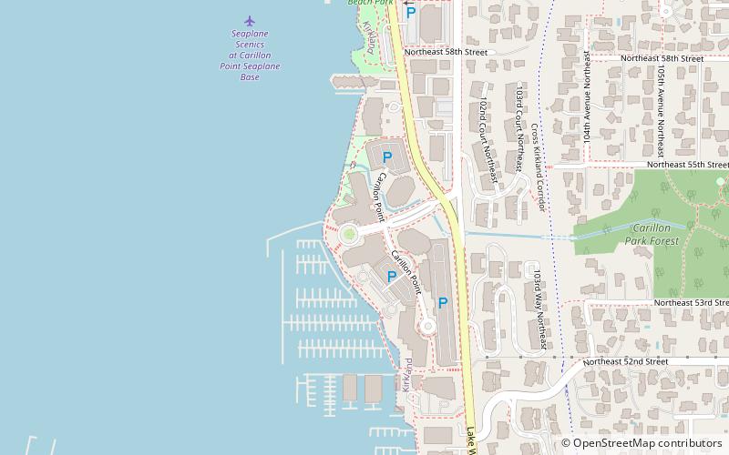
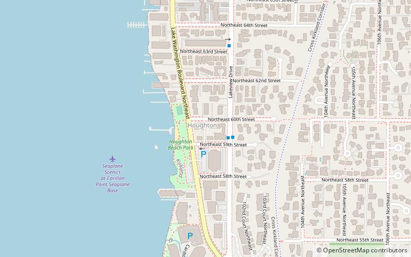
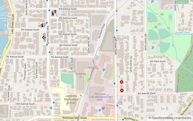
Map
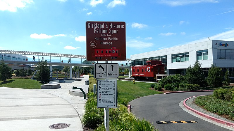
Gallery
Facts and practical information
Cross Kirkland Corridor is a 5.75-mile rail trail and linear park in the city of Kirkland, Washington. It is Kirkland's segment of the multi-city Eastside Rail Corridor on the Eastside Seattle suburbs. ()
Length: 5.75 miMaximum elevation: 200 ftCoordinates: 47°40'13"N, 122°11'53"W
Day trips
Cross Kirkland Corridor – popular in the area (distance from the attraction)
Nearby attractions include: Yarrow Bay Marina, Kirkland Performance Center, Bridle Trails State Park, Kirkland Arts Center.
Frequently Asked Questions (FAQ)
Which popular attractions are close to Cross Kirkland Corridor?
Nearby attractions include Kirkland Performance Center, Kirkland (11 min walk), United States lightship Swiftsure, Kirkland (14 min walk), Argosy Cruises, Kirkland (14 min walk), Juanita, Kirkland (19 min walk).
How to get to Cross Kirkland Corridor by public transport?
The nearest stations to Cross Kirkland Corridor:
Bus
Bus
- 6th St S & 9th Ave S • Lines: 245, 255 (4 min walk)
- State St & 7th Ave S • Lines: 250 (6 min walk)

