All-High Stadium, Buffalo
Map

Map

Facts and practical information
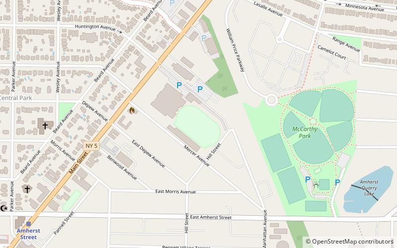
All-High Stadium is a football stadium in Buffalo, New York. It was opened in 1926, and received a Memorial Day dedication on May 29, 1929. The stadium was modeled after classic European soccer stadiums of the time. It is part of the Bennett High School complex. It is bounded by the high school and Main Street to the northwest, Manhattan Avenue to the northeast, Hill Street to the southeast, and Mercer Avenue to the southwest. ()
Opened: 1926 (100 years ago)Capacity: 5000Coordinates: 42°56'35"N, 78°49'52"W
Address
North Buffalo (Starin Central)Buffalo
ContactAdd
Social media
Add
Day trips
All-High Stadium – popular in the area (distance from the attraction)
Nearby attractions include: Darwin D. Martin House, Buffalo Zoo, Grover Cleveland Golf Course, Blessed Trinity Roman Catholic Church Buildings.
Frequently Asked Questions (FAQ)
Which popular attractions are close to All-High Stadium?
Nearby attractions include Public School No. 63, Buffalo (10 min walk), St. Andrew's Episcopal Church, Buffalo (12 min walk), Blessed Trinity Roman Catholic Church Buildings, Buffalo (20 min walk), University Presbyterian Church, Buffalo (24 min walk).
How to get to All-High Stadium by public transport?
The nearest stations to All-High Stadium:
Light rail
Light rail
- LaSalle • Lines: Metro (9 min walk)
- Amherst Street • Lines: Metro (12 min walk)


