Ward Park, Raymore
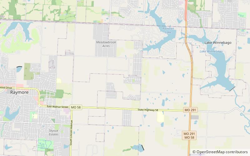
Map
Facts and practical information
Ward Park is a public, urban park in Raymore, Missouri, United States. Located on 3.88 acres on the western end of Sierra Drive in Ward Park Place subdivision, Ward Park received playground equipment and a paved walking trail in 2011. Currently, this park is closed as a part of the continuing efforts to slow the spread of the Coronavirus COVID-19. It is part of the Kansas City metropolitan area. ()
Elevation: 1010 ft a.s.l.Coordinates: 38°48'58"N, 94°24'35"W
Address
Raymore
ContactAdd
Social media
Add
Day trips
Ward Park – popular in the area (distance from the attraction)
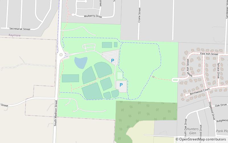
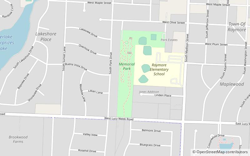
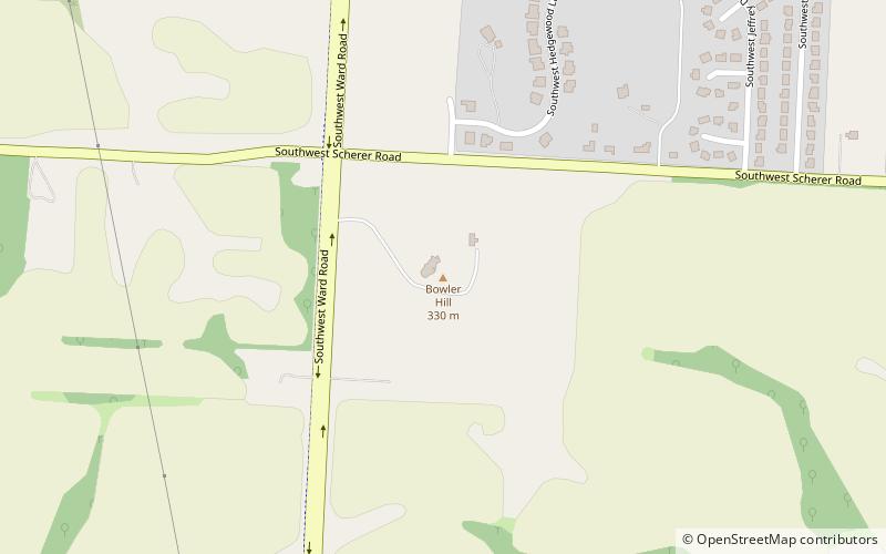
Nearby attractions include: Recreation Park, Memorial Park, Bowler Hill, Hawk Ridge Park.
