Bowler Hill, Lee's Summit

Map
Facts and practical information
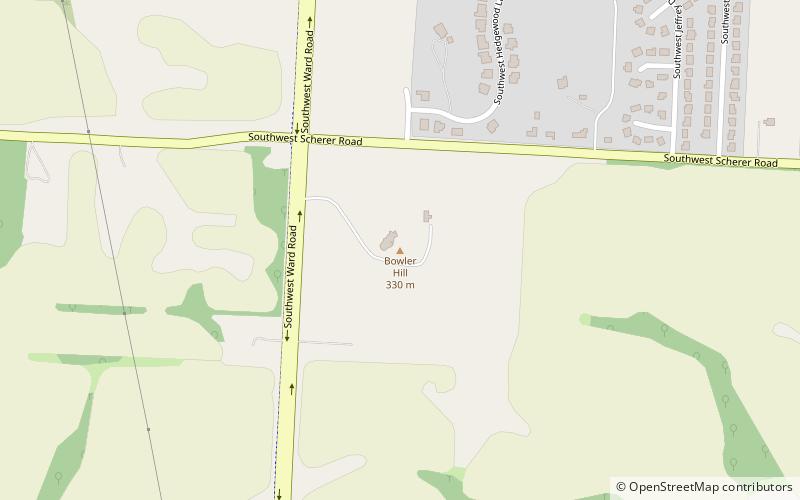
Bowler Hill is a summit in Jackson County in the U.S. state of Missouri. It has a peak elevation of 1,086 ft. ()
Coordinates: 38°53'16"N, 94°23'40"W
Address
Lee's Summit
ContactAdd
Social media
Add
Day trips
Bowler Hill – popular in the area (distance from the attraction)
Nearby attractions include: Lee's Summit Historical Cemetery, St. Paul's Episcopal Church, Summit Woods Crossing, Longview Community College.


