St. Paul's Cemetery, Alexandria
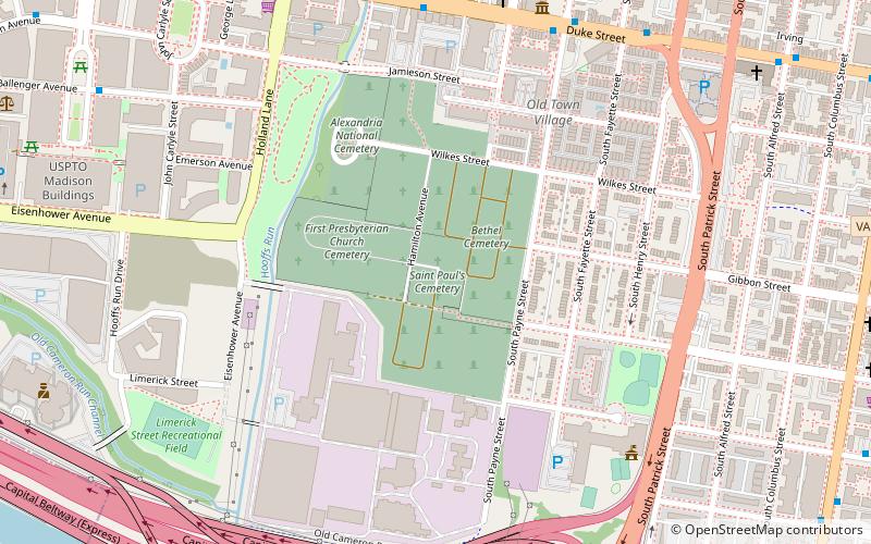
Map
Facts and practical information
St. Paul's Cemetery is a cemetery in Alexandria, Virginia. Established in 1809, it is the cemetery of St. Paul's Episcopal Church. It is located in the Wilkes Street cemetery complex. ()
Coordinates: 38°47'59"N, 77°3'24"W
Getting there by public transportation
Public transportation stops near this location
- Metro
- Bus
- Train
 Metro
Metro
- Calculate routeDuke St + S Peyton St 8 min walk
- Calculate routeDaingerfield Rd + Prince St 10 min walk
- Calculate routeKing Street–Old Town 14 min walk
- Calculate routeEisenhower Avenue 20 min walk
- Calculate routeBraddock Road 26 min walk
- Calculate routeAlexandria Union Station 14 min walk
- Calculate routeAlexandria 14 min walk
Day trips


Frequently Asked Questions (FAQ)
Which popular attractions are close to St. Paul's Cemetery?
Nearby attractions include Alexandria National Cemetery, Alexandria (5 min walk), Orange and Alexandria Railroad Hooff's Run Bridge, Alexandria (7 min walk), Franklin and Armfield Office, Alexandria (8 min walk), Alfred Street Baptist Church, Alexandria (11 min walk).
How to get to St. Paul's Cemetery by public transport?
The nearest stations to St. Paul's Cemetery:
Bus
Metro
Train
Bus
- Duke St + S Peyton St • Lines: At5 (8 min walk)
- Daingerfield Rd + Prince St • Lines: At5 (10 min walk)
Metro
- King Street–Old Town • Lines: Bl, Yl (14 min walk)
- Eisenhower Avenue • Lines: Yl (20 min walk)
Train
- Alexandria Union Station (14 min walk)
- Alexandria (14 min walk)